Understanding Aerial Real Estate Photography
Aerial real estate photography involves capturing images and videos of properties from elevated perspectives using specialized equipment such as drones or small aircraft. This innovative approach offers potential buyers and investors a comprehensive view of a property’s layout, surrounding environment, and architectural details that traditional ground-level photos may not adequately portray. As a powerful marketing tool, aerial images can significantly enhance the visual appeal of a listing, making it stand out in a competitive Miami real estate market.
In today’s property marketing landscape, high-quality aerial photography plays a crucial role in demonstrating a property's unique features, including expansive land plots, waterfront access, and nearby amenities. The dynamic perspectives provided by aerial imagery help to create a compelling narrative about the property’s scale, location advantages, and neighborhood context. This visual storytelling not only attracts more prospective buyers but also invites increased engagement and inquiries.
Utilizing advanced aerial photography techniques enhances a real estate listing’s overall presentation. It allows for the clear depiction of property boundaries, landscaping, driveways, pools, and other significant outdoor elements. This comprehensive view facilitates better decision-making for clients and helps real estate professionals communicate the property’s value more effectively.
Moreover, aerial imagery extends beyond individual properties. It provides valuable context about the neighborhood, nearby parks, commercial centers, and transportation links. Such insights are particularly vital in markets like Miami, where proximity to beaches, waterfronts, and urban hotspots can serve as key selling points. Consequently, aerial real estate photography has become an indispensable part of modern property marketing strategies, offering a unique vantage point that elevates the presentation and appeal of listings.
Types of Aerial Photography Equipment and Techniques
Achieving high-quality aerial real estate photos requires the utilization of specialized equipment and refined techniques tailored to capture properties effectively from above. The selection of the appropriate aerial photography tools directly influences the clarity, stability, and overall visual appeal of the images produced.
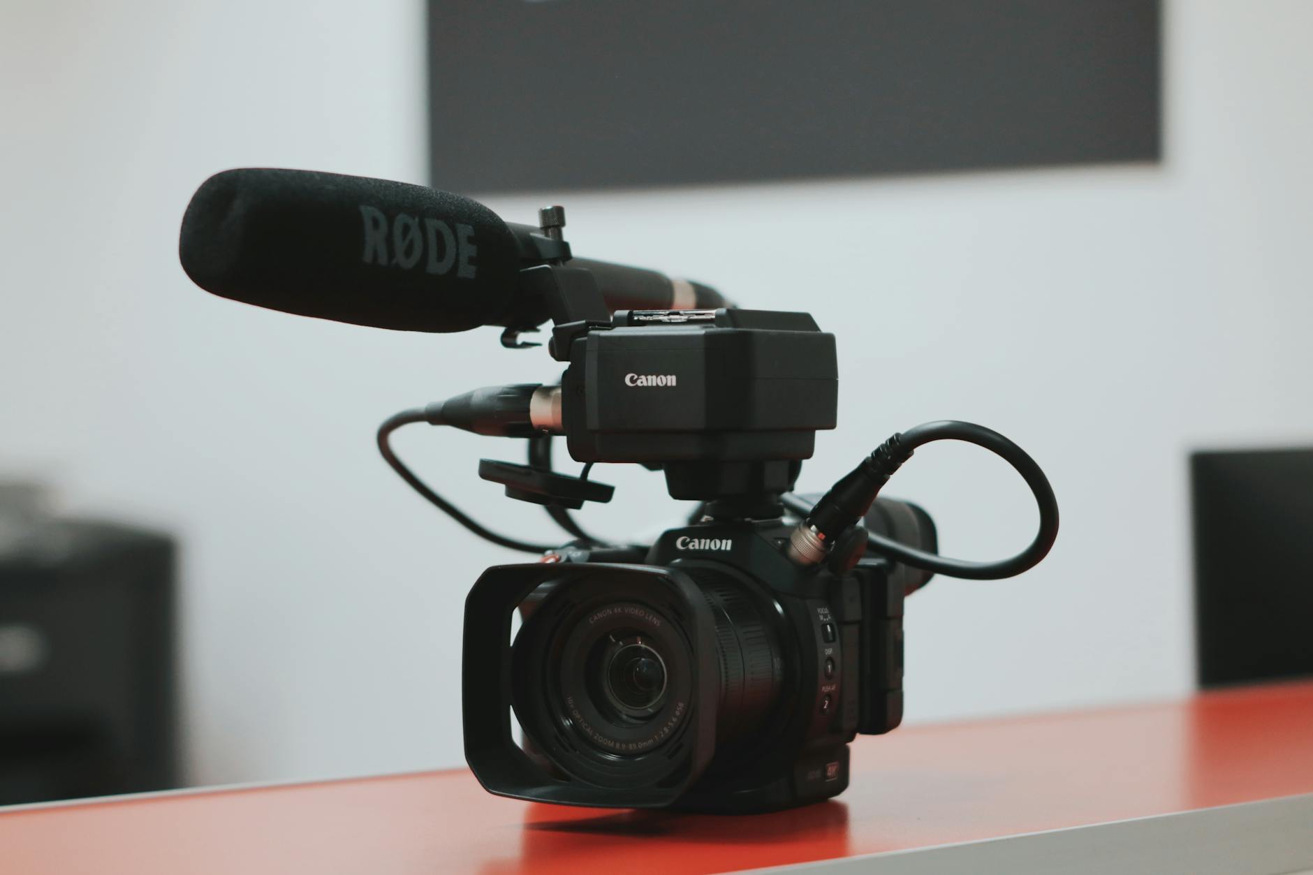
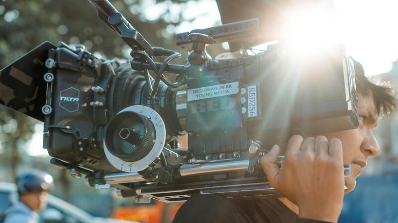
Unmanned Aerial Vehicles (UAVs), commonly known as drones, have become the cornerstone of modern aerial photography services. They offer flexible maneuverability, cost-effective operations, and the ability to access hard-to-reach areas without disrupting the property or neighboring spaces. High-resolution cameras mounted on these drones enable capture of intricate details, textures, and vibrant colors that showcase a property’s best features.
In addition to drones, helicopter and fixed-wing aircraft are occasionally employed for large-scale or commercial real estate projects that demand extensive coverage or unique perspectives. These manned aircraft can provide larger imaging equipment and longer flight durations, which are advantageous for expansive land developments or communities.
When it comes to techniques, several strategies are adopted to optimize the visual output:
- Golden Hour Shooting: Capturing images during early morning or late afternoon when sunlight casts a warm, flattering glow that enhances property features and landscape textures.
- Wide-Angle Lenses: Utilizing wide-angle lenses to encompass more of the property in a single frame, providing context and grandeur.
- HDR Imaging: Implementing High Dynamic Range (HDR) techniques to balance light exposure, ensuring both shadow details and bright elements are clearly visible.
- Flight Path Planning: Meticulous pre-flight routes to guarantee comprehensive coverage of the property and its surroundings, minimizing blind spots and ensuring consistent image quality.
- Steady Flight Operations: Employing stabilization gimbals and advanced flight controls to reduce vibrations and camera shake, resulting in crisp, professional images.
The combination of sophisticated equipment and methodical techniques allows real estate professionals to showcase Miami properties in superb detail, emphasizing their unique selling points and aesthetic appeal from the sky.
Types of Aerial Photography Equipment and Techniques
Utilizing the right equipment is essential for capturing compelling aerial images that highlight the unique attributes of Miami real estate properties. High-quality drone platforms are equipped with advanced stabilization systems to ensure smooth, distortion-free shots, even in challenging wind conditions typical of coastal environments. Cameras mounted on these drones often feature high-resolution sensors capable of capturing detailed imagery, which is crucial for showcasing intricate architectural features and landscape textures.
Customizable camera settings allow photographers to adapt to various lighting conditions, ensuring optimal exposure and color accuracy. For example, adjusting aperture, shutter speed, and ISO can help produce images that are both sharp and vibrant. The use of tilt-shift lenses may be employed to correct perspective distortions, providing more accurate representations of property dimensions and layouts.
Integral to successful aerial imagery are specialized shooting techniques that maximize visual impact and informational content. Golden hour photography, capturing images during early morning or late afternoon, takes advantage of the soft, warm sunlight to create inviting, aesthetically pleasing images. Wide-angle lenses facilitate capturing expansive views of entire properties and their surrounding landscapes, offering potential buyers a comprehensive perspective from above.
HDR (High Dynamic Range) imaging is frequently employed to balance contrasting lighting conditions, ensuring that shadowed areas retain detail without overexposing brighter elements such as glass windows or reflective surfaces. Pre-planning flight paths ensures comprehensive coverage, eliminating gaps in imagery and providing a seamless visual story of the property. During flight operations, stabilization gimbals maintain steady camera angles, resulting in crisp images free of motion blur.
This combination of sophisticated equipment and precise filming techniques allows real estate professionals to deliver visually striking representations of Miami properties that accurately reflect their appeal, amenities, and surroundings. These images not only elevate marketing efforts but also assist clients in making informed decisions based on detailed, high-quality visual data.
Technological Advancements and Emerging Techniques in Aerial Real Estate Photography
As the demand for high-quality property visuals continues to grow, the field of aerial real estate photography in Miami is experiencing significant technological innovations. These advancements enable photographers to capture more detailed, dynamic, and immersive images, helping clients stand out in a competitive market.
One of the notable developments is the integration of 4K and even 8K video capabilities. High-definition videos allow prospective buyers to virtually tour a property, gaining a better sense of space, layout, and surrounding features. These videos can be seamlessly integrated into online listings, social media, and virtual reality platforms, creating a more interactive viewing experience.
Gimbal stabilization technology has also seen improvements, resulting in smoother footage even during windy conditions or complex flight manoeuvres. This stability enhances the clarity of images and videos, making the visuals more professional and appealing.
Drones now feature obstacle avoidance sensors, which enable safer operation around complex property layouts or tight spaces. This technology minimizes risks during flight and allows for more versatile angles and close-up shots that previously would have been challenging or unsafe.
Some pioneering companies in Miami are utilizing thermal imaging technology to provide additional layers of property inspection. Although primarily used in commercial or industrial applications, thermal imaging in residential real estate can reveal insulation inconsistencies or identify heat leaks, offering prospective buyers valuable insights beyond standard visuals.
Automation in flight planning, supported by advanced software, permits pre-programming of complex flight routes. This improves efficiency, ensures comprehensive property coverage, and reduces human error. Coupled with real-time image processing, this technology allows professionals to review images immediately after capture, facilitating quick revisions or additional captures if necessary.
The adoption of artificial intelligence (AI) algorithms for image enhancement is also transforming aerial real estate photography. AI-powered editing tools can automatically correct distortions, enhance colors, and optimize lighting, providing stunning visuals with minimal manual editing. These innovations are reshaping how real estate professionals present properties, making the visuals more compelling and suited for diverse marketing channels.
In a highly competitive Miami real estate landscape, leveraging these cutting-edge technologies ensures that property listings are not only visually appealing but also deliver detailed, accurate representations of the properties. This technological evolution allows real estate professionals and marketers to create more engaging narratives around their listings, ultimately facilitating faster sales and higher property values.
Understanding Aerial Real Estate Photography
Aerial real estate photography involves capturing high-resolution images and videos of properties from elevated perspectives using specialized aerial platforms, predominantly drones equipped with advanced cameras. This approach offers a comprehensive view of the property’s exterior, surrounding landscape, and neighborhood context that traditional ground-level photography cannot provide. The strategic use of aerial shots enhances the visual appeal of listings, highlighting key features such as expansive lawns, architectural details, waterfront access, and overall property layout.
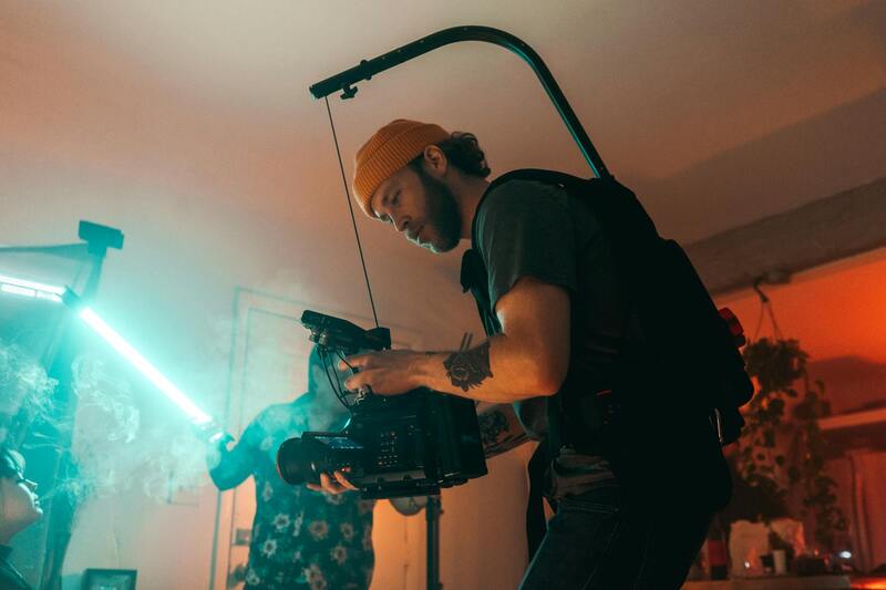
Professional aerial photography requires a combination of skilled operators and state-of-the-art equipment to produce images that are not only visually striking but also accurately represent the property. High-definition drone cameras with stabilization technology ensure crisp, clear visuals even in challenging lighting conditions. The incorporation of different angles and altitudes allows for dynamic compositions that can showcase the property’s unique aspects, fostering a more emotional and engaging connection with potential buyers. Moreover, aerial imagery can be seamlessly integrated into virtual tours, promotional videos, and online listings, elevating the overall marketing strategy.
Aerial photography also plays an important role in addressing specific property types, including luxury estates, commercial complexes, and large-scale developments. For these projects, detailed overhead shots can reveal the full extent of the land, amenities, and infrastructural details, providing a comprehensive understanding for prospective clients or investors. This method of capturing visuals ensures a level of depth and detail that can significantly influence purchasing decisions.
Technical Aspects and Equipment
The success of aerial real estate photography depends on deploying the right equipment and techniques. Modern drone platforms feature high-end cameras capable of shooting in 4K resolution or higher, ensuring that images are suitable for print and digital mediums alike. Gimbals and stabilization systems are integral to maintaining image clarity during flight, reducing motion blur caused by wind or drone movement.
Advanced flight planning software allows operators to create precise routes, avoid obstacles, and optimize shooting angles. This precise navigation ensures comprehensive coverage of the property in minimal time, reducing operational costs and maximizing image quality.
For achieving versatile visual content, drone operators often employ a range of techniques including high and low-altitude shots, panoramas, and 360-degree imaging. Post-processing enhancements such as color correction, HDR blending, and distortion correction further refine the images, making them more attractive and true-to-life.
Choosing the Right Equipment and Techniques
- Use of high-resolution cameras with dynamic range capabilities
- Application of stabilization and gimbal technology for smooth imagery
- Pre-flight planning using sophisticated mapping software
- Employing varied shot angles and heights for comprehensive views
- Post-production editing for enhanced clarity and aesthetics
Proper implementation of these elements ensures that aerial property images are impactful, accurate, and aligned with marketing goals, catering to the specific demands of the Miami real estate market.
Legal Regulations and Safety Considerations in Miami
Ensuring compliance with official protocols and maintaining safety standards are essential components of professional aerial real estate photography in Miami. The city enforces specific operational procedures designed to promote responsible drone usage, safeguard public safety, and protect property interests. Operators are required to adhere to designated flight zones, which include avoiding restricted airspace such as near airports, government buildings, and other sensitive locations. These restrictions are in place to streamline drone operations while minimizing potential hazards.
Prior to conducting any aerial shoots, service providers conduct thorough site surveys to identify possible obstacles like power lines, cranes, or tall structures. Advanced pre-flight planning utilizes detailed maps and obstacle detection technology, enabling pilots to chart safe, efficient routes that maximize coverage without compromising safety protocols. This process mitigates risks associated with inadvertent collisions or disruptions during shooting sessions.
Personnel involved in aerial property photography receive specialized training focused on drone operation, situational awareness, and emergency procedures. Regular maintenance checks of equipment are performed to ensure optimal performance, reducing the likelihood of technical malfunctions during flights. By consistently following established safety standards, aerial photographers uphold the integrity of their services and foster trust among clients and the community.
In Miami, weather conditions are an important factor influencing operation schedules. Photographers monitor local forecasts for wind speeds, rain, and cloud cover, postponing flights during adverse conditions to prevent accidents and compromised image quality. Clear skies and moderate wind provide ideal conditions for capturing sharp, high-resolution images that showcase the property's best features.
Steps for Booking Aerial Real Estate Photography Services
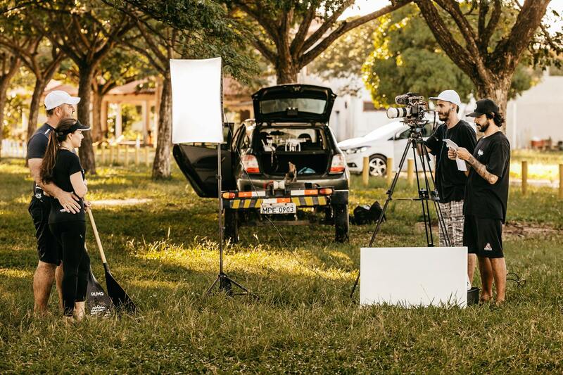
Securing professional aerial real estate photography in Miami involves a series of well-defined steps that ensure the highest quality results while adhering to industry standards. Start by conducting research focused on reputable service providers who specialize in aerial imagery and have a proven track record of working on real estate projects. Review their portfolios to assess the quality of imagery, ensuring their style aligns with your marketing goals. Consider the technological capabilities of the provider, including the types of drones and cameras used, to ensure they are equipped to handle your property size and specific features.
Once you've identified a few potential service providers, initiate consultations to discuss your project requirements. Clearly communicate the details of the property, desired angles, and any particular highlights you want to emphasize. This conversation helps the provider plan the scope of work and suggest optimal times for photography, considering Miami’s weather patterns and light conditions, which are crucial for capturing vibrant, high-quality images.
During the quoting process, request detailed proposals that outline all costs, including any additional charges for post-processing or multiple shots. Align expectations by reviewing turnaround times for delivery and scheduled dates for the aerial shoot. Establish a clear schedule, taking into account local weather forecasts and optimal lighting windows to maximize image quality and safety. Contracts and service agreements should clearly define the scope of work, rights to images, and terms of use to prevent misunderstandings.
On the day of the shoot, coordination with the service provider’s team is essential. Ensure access permissions and site preparations are finalized beforehand. For larger or complex properties, a site walkthrough with the drone operators can identify potential hazards or obstacles that might affect flight safety or image composition. This collaborative approach guarantees smooth execution, minimizes delays, and results in high-caliber imagery that elevates your property’s marketing appeal.
After capturing the images, discuss the editing and post-processing options available. Professional editing can enhance the visual appeal by adjusting lighting, correcting colors, and removing any unwanted artifacts, ensuring your property is showcased in its best light. Quality assurance should involve review sessions to verify image accuracy and clarity prior to final delivery.
Choosing the Right Aerial Real Estate Photography Services in Miami
When selecting an aerial photography provider for real estate in Miami, it is essential to prioritize professionalism and experience. A reputable agency will demonstrate expertise in capturing high-quality images that showcase properties effectively while adhering to safety standards. Evaluating their portfolio allows you to assess their previous work, ensuring their style aligns with your marketing goals. An extensive portfolio featuring diverse property types indicates versatility and skill.
Additionally, consider the equipment used by potential service providers. Modern drones equipped with high-resolution cameras and stabilized gimbals are crucial for producing clear, sharp imagery. Advanced equipment often includes features like adjustable camera angles, high dynamic range (HDR) capabilities, and automated flight modes that enhance shot consistency. Service providers investing in top-tier equipment are better equipped to deliver professional results suitable for marketing high-value properties.
Beyond technical expertise, a provider's understanding of local regulations and safety protocols contributes significantly to a successful shoot. Providers should have a thorough awareness of Miami's airspace regulations and possess necessary permits for drone operations in various locations. Their team must also prioritize safety, conducting comprehensive risk assessments before each flight to prevent accidents or property damage.
Transparent communication is another critical criterion. Reliable agencies will offer detailed project proposals outlining the scope of work, timelines, and costs. They should be clear about post-production services, image rights, and usage conditions. Collaborating with a service provider that values client input can facilitate adjustments to shot lists or schedules, ensuring the final images meet your expectations.
In Miami’s competitive real estate market, leveraging the expertise of a dedicated aerial photography service provider can greatly enhance your property's visibility. By selecting a team with proven experience, advanced equipment, compliance knowledge, and strong communication practices, you secure a partnership committed to delivering compelling visuals that elevate your marketing efforts.