Overview of Commercial Property Aerial Photography
Commercial property aerial photography involves capturing high-resolution images of commercial real estate assets from elevated perspectives using specialized aircraft, drones, or other aerial platforms. In the competitive Miami market, where visually appealing content can significantly influence property valuation and leasing success, aerial imagery serves as a powerful tool for showcasing the scale, layout, and surrounding environment of commercial spaces. Whether photographing office complexes, industrial parks, retail centers, or land plots, the strategic use of aerial shots enhances the visual storytelling aspect of property marketing campaigns.
This form of photography not only allows for a comprehensive depiction of large-scale properties but also highlights key features such as accessibility, landscaping, parking facilities, and proximity to major transportation routes. By integrating aerial images into marketing materials and online listings, property owners and investors gain compelling visual assets that can attract prospective tenants, buyers, and stakeholders more effectively.
Given Miami’s vibrant real estate scene, employing aerial photography has become indispensable for those aiming to stand out in a crowded marketplace. The technique allows for multidimensional perspectives that ground-level photography can't achieve, emphasizing the property's relationship with its surroundings. Such visual clarity supports strategic planning, development projects, and asset management by offering an accurate portrayal of the property's context within its neighborhood.
Executives, real estate professionals, and developers increasingly recognize the value of aerial imagery as an integral part of their marketing arsenal, ensuring that their commercial listings appeal to modern audiences who depend heavily on digital visual content. The rise of drone technology, combined with advanced camera systems, has made it more feasible and cost-effective to incorporate aerial imagery into property presentations, especially in dynamic markets like Miami.
Overall, commercial property aerial photography serves as a crucial element for effective real estate marketing and development in Miami. It delivers detailed, impactful visuals that appeal to a broad spectrum of stakeholders, fostering engagement and accelerating the sale or leasing process. As the industry continues to evolve, embracing high-quality aerial imagery will remain essential for maximizing property visibility and strategic decision-making within Miami's vibrant commercial real estate sector.
Types of Aerial Photography Equipment and Methods
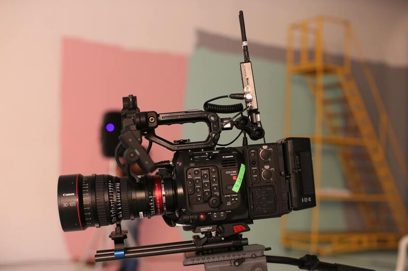
When considering commercial property aerial photography, selecting the appropriate equipment and methods is essential to achieving high-quality, detailed imagery that accurately represents the property and its surroundings. The choice of tools typically depends on factors such as property size, location, budget, and the specific objectives of the project. Understanding the various options available allows property owners, real estate professionals, and developers to optimize their visual marketing efforts effectively.
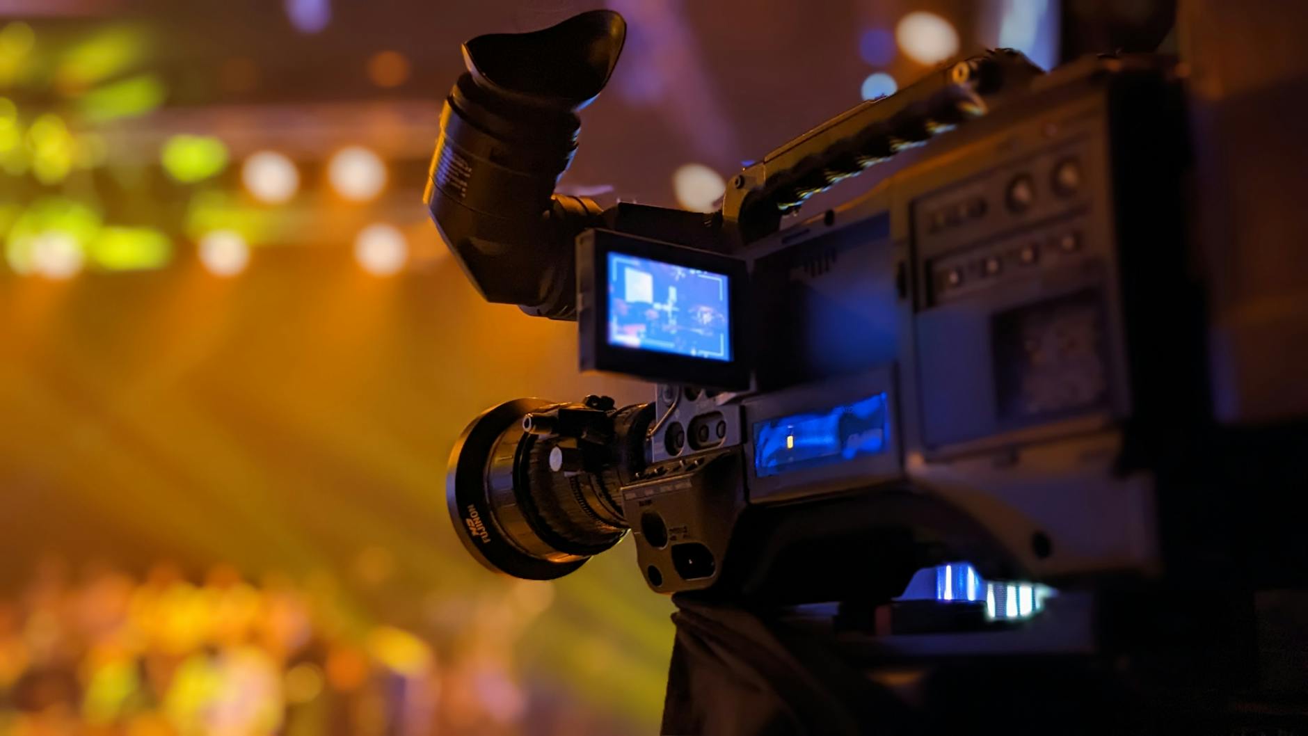
Among the most common devices used in commercial aerial photography are drones, helicopters, and fixed-wing aircraft. Each method offers unique advantages suited to different types of properties and imaging requirements.
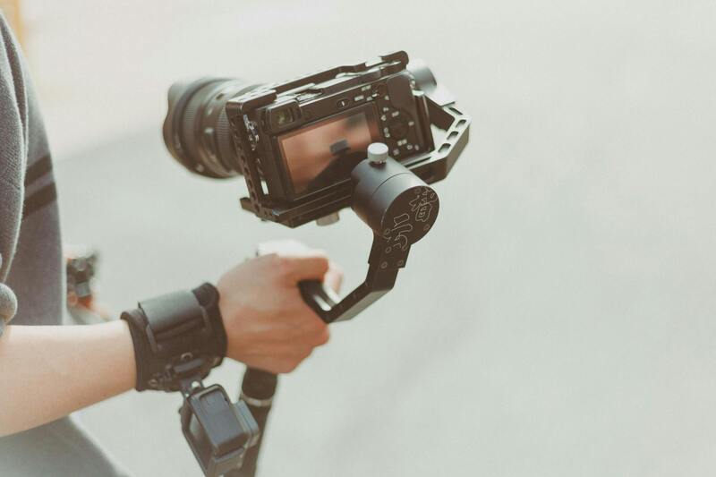
Drones
- Advantages: Cost-effective, highly maneuverable, capable of accessing hard-to-reach areas, and able to capture high-resolution images and videos from various altitudes and angles.
- Applications: Ideal for small to medium-sized commercial properties, urban developments, construction site monitoring, and detailed roof inspections. They enable rapid deployment and can produce dynamic visuals perfect for marketing campaigns or assessments.
- Limitations: Limited flight time due to battery constraints and restrictions in certain airspaces, requiring proper adherence to local regulations.
Helicopters
- Advantages: Capable of covering larger areas quickly and providing stable imagery in inclement weather conditions compared to drones.
- Applications: Suitable for extensive commercial complexes, industrial parks, and areas requiring high-altitude photography. The maneuverability allows for comprehensive coverage of expansive sites.
- Limitations: Higher operational costs and a need for skilled pilots, which can impact project budgets for some clients.
Fixed-Wing Aircraft
- Advantages: Effective for very large property parcels and long-range imaging, offering high-altitude perspectives with broad coverage areas.
- Applications: Often used for regional planning, large-scale development projects, and aerial surveys that require detailed topographical data.
- Limitations: Less flexibility in capturing close-up shots and requiring extensive logistical planning for deployment.
In selecting the ideal method, stakeholders must evaluate their specific project requirements, regulatory considerations, and budget constraints. Combining multiple techniques can often deliver comprehensive visual documentation that enhances the marketing and planning processes. Utilizing professional aerial photography services ensures the deployment of suitable equipment and expert operation, resulting in crisp, impactful images that serve as a powerful asset in commercial real estate endeavors.
Legal and Regulatory Considerations in Miami
When engaging in commercial property aerial photography within Miami, adhering to established guidelines and regulations is essential to ensure a smooth and compliant operation. The city and state authorities oversee airspace usage, and understanding these rules helps prevent disruptions and legal complications. In particular, drone operators and aircraft pilots must respect no-fly zones, including areas near airports, government buildings, and certain private properties. Establishing a clear plan for permitted flight areas and altitudes is fundamental to avoid inadvertent violations.
For drone-based aerial photography, obtaining proper authorization often involves filing flight plans with relevant authorities and securing permits when necessary. This process involves providing details about flight paths, times, and equipment used to ensure safety and minimal disruption to other airspace users. For manned aircraft, coordination with local air traffic control is crucial, especially when operating near busy urban environments like Miami. Pilots must comply with existing flight regulations and maintain communication with control towers to manage airspace safely.
In addition to airspace regulations, privacy considerations play a significant role in Miami’s bustling urban environment. Property owners and residents have expectations of privacy, and aerial photographers should operate transparently and with respect for private properties. It is advisable to inform property owners about scheduled shoots and gain necessary permissions, ensuring respectful and professional interactions.
Compliance with Florida’s aviation laws and Miami-specific ordinances guarantees that commercial aerial photography projects proceed without legal setbacks. Working with experienced aerial operators who are familiar with local regulations minimizes risk and ensures that all operational aspects meet the city’s standards.
Legal and Regulatory Considerations in Miami
Conducting commercial property aerial photography in Miami necessitates adherence to a comprehensive set of regulations that govern the use of aerial platforms within the city and its surrounding airspace. These standards are designed to ensure safety, privacy, and the smooth integration of aerial operations into the urban environment. For professional photographers and aerial service providers, understanding and complying with these rules is essential to avoid operational disruptions or penalties.
Miami enforces specific airspace restrictions, particularly around sensitive areas such as airports, government facilities, and densely populated zones. These restrictions often include designated no-fly zones and altitude limitations that must be observed meticulously. Before any aerial activity, operators must review the latest aeronautical charts and notices to airmen (NOTAMs), which detail temporary and permanent restrictions, to prevent inadvertent violations. This proactive approach guarantees that all flights occur within permitted airspace, maintaining safety standards.
Obtaining the necessary permits and authorizations is a critical step in planning commercial aerial photography ventures. This typically involves filing detailed flight plans with local authorities, specifying the purpose of the shoot, exact locations, flight paths, altitudes, and operational times. For drone-based photography, operators might need to secure specific certifications and ensure their equipment complies with both federal and local standards. For manned aircraft operations, coordination with Miami’s air traffic control ensures that aerial filming does not interfere with regular air traffic flow.
Furthermore, Miami’s urban landscape heightens the importance of addressing privacy concerns. Property owners and residents expect their rights to be respected. Clear communication about scheduled aerial photography sessions and obtaining explicit permission when photographing private properties foster trust and professionalism. Operators should keep detailed records of permissions and communications to demonstrate compliance and courteous interactions.
Compliance with Florida’s aviation regulations encompasses federal, state, and local statutes that collectively form the legal framework for aerial activities. Familiarity with these laws helps aerial photography businesses navigate complexities effectively, reducing the risk of legal issues and operational delays. Partnering with experienced aerial operators familiar with Miami’s specific requirements often results in smoother project execution and quality outcomes that meet both safety and legal standards.
In summary, diligent preparation and thorough understanding of Miami’s airspace and regulatory environment are key components of executing successful commercial property aerial photography. Adhering to these guidelines not only ensures legal compliance but also elevates the quality and reliability of the imagery captured, supporting the varied needs of real estate, commercial development, and other industries operating within the city.
Legal and Regulatory Considerations in Miami
When engaging in commercial property aerial photography within Miami, understanding the established protocols and obtaining necessary permissions are crucial for smooth project execution. This involves a thorough review of relevant airspace regulations, which govern the heights and areas where drone operations can be safely conducted. Local authorities and federal agencies oversee these rules, ensuring that aerial activities do not interfere with manned aircraft or infringe upon designated no-fly zones such as wildlife refuges, government buildings, or airports.
Operators must be familiar with Miami’s specific guidelines for drone flights, which include restrictions on flying over private properties without consent, as well as altitude limitations and time-of-day constraints. These standards are designed to facilitate safe operations while respecting the rights of property owners and residents. Adhering to established airspace classifications and avoiding areas with active air traffic reduces potential conflicts and helps in maintaining safe skies for everyone.
Acquiring permits and coordinating with local aviation authorities are fundamental steps in the process of commercial aerial photography. This involves submitting detailed flight plans, specifying the purpose of the shoot, equipment to be used, and designated flight paths. Consistent communication with Miami’s aviation agencies and adherence to their directives fosters transparency and ensures operations are conducted within approved parameters. Keeping detailed records of permissions and notices of authorization provides accountability and demonstrates compliance if any questions arise during or after the project.
In addition to airspace regulations, Miami has specific ordinances regarding the use of commercial drones, including restrictions related to privacy, noise, and periods of operation. Respect for residents’ privacy must be prioritized, especially when capturing images over private residences or commercial properties in densely populated areas. Properly informing property owners of scheduled flights and securing their explicit consent when needed creates a professional environment built on trust and respect.
By carefully navigating these legal considerations, aerial photography providers can ensure their operations are both compliant and efficient. This diligence minimizes potential disruptions, reduces inadvertent violations, and supports high-quality imagery production that meets client expectations. Building strong relationships with local authorities and adhering to Miami’s specific aerial photography standards ultimately enhances the reputation of professionals in this industry and promotes ongoing cooperation in future projects.
Legal and Regulatory Considerations in Miami
When engaging in commercial property aerial photography within Miami, understanding and adhering to the applicable legal and regulatory frameworks is essential to ensuring project success. The city’s regulations regarding the use of aerial imaging tools and the operation of drones are designed to protect privacy, maintain public safety, and preserve airspace integrity.
Operators must secure necessary airspace authorizations, often obtained through coordination with the Federal Aviation Administration and local aviation authorities. This includes filing appropriate flight plans, providing detailed information about the purpose of the shoot, the equipment involved, and designated flight paths. Consistent communication with Miami’s aviation agencies and compliance with their directives foster transparency and ensure operations are conducted within approved parameters. Keeping detailed records of permissions and notices of authorization provides accountability and demonstrates compliance if any questions arise during or after the project.
Besides airspace regulations, there are specific ordinances regulating the use of commercial drones in Miami. These regulations include restrictions related to privacy, noise, and operating hours. Respect for residents’ privacy must be prioritized, especially when capturing images over private residences or commercial properties in densely populated areas. Properly informing property owners of scheduled flights and securing their explicit consent when needed creates a professional environment built on trust and respect.

Legal and Regulatory Considerations in Miami
When conducting commercial property aerial photography in Miami, adherence to established protocols and best practices is essential to ensure smooth operations and the production of high-quality imagery. Unlike casual photography, professional aerial projects require meticulous planning, including cooperation with regulatory bodies and a thorough understanding of municipal ordinances that influence flight activities. Proper documentation, such as flight plans, is crucial. These plans detail the intent of the shoot, specify the equipment used, and outline approved flight paths. Maintaining open communication with Miami’s aviation authorities helps verify that all activities align with current airspace policies, facilitating safe and compliant operations.
Visibility into subsequent regulatory frameworks ensures aerial photography efforts do not interfere with other airspace users. This involves securing necessary notifications or permissions prior to flight execution. These records serve as an accountability measure and demonstrate adherence to regional standards, especially if any questions about operational procedures arise later. It also reassures clients and stakeholders that the safety and privacy of residents and other property owners are prioritized.
Additional ordinances address specific local concerns related to privacy, noise control, and operating hours for drone activities. Respecting residents’ privacy when shooting over private properties is essential. Informing property owners about scheduled flights and obtaining their explicit consent when needed build trust and foster positive relationships. This proactive approach minimizes potential conflicts and underscores professionalism.
By closely following these regulatory considerations, aerial photographers in Miami can minimize disruptions, avoid unintended violations, and facilitate the efficient achievement of project goals. The consistent application of these best practices not only elevates the quality of images captured but also enhances the reputation of the service provider, paving the way for ongoing collaborations and successful future projects.
Legal and Regulatory Considerations in Miami
Operating commercial property aerial photography in Miami necessitates strict adherence to regional regulations that govern aerial activities. Securing permissions, whether through municipal authorities, aviation departments, or relevant agencies, ensures compliance with established protocols and promotes responsible aerial imaging practices. Photographers and clients should consistently document all communications and approvals, which serve as formal records demonstrating adherence to operational standards.
Prior to any flight, it's advisable to conduct thorough research to identify specific requirements pertinent to the location and scope of the project. This includes understanding designated flight zones, restricted airspaces, and notification procedures for flyovers over private or sensitive properties. By proactively coordinating with local authorities and informing nearby property owners, aerial photographers mitigate potential conflicts and foster a cooperative environment.

Documenting flight plans, securing necessary permits, and maintaining clear records of all communications uphold transparency and accountability. These practices not only facilitate operational efficiency but also demonstrate a commitment to professionalism and safety standards. Regularly updating permits and staying informed about any policy changes within Miami ensures ongoing compliance and allows for the seamless scheduling of projects.
Respect for privacy considerations plays a critical role in aerial photography. Notifying residents and property owners in advance and obtaining consent when required help build trust and demonstrate respect for individual rights. Photographers should also be mindful of noise ordinances and operating hours to ensure their activities do not disrupt local communities.
Engaging with reputable local authorities, consulting established guidelines, and maintaining detailed operational records form the backbone of compliant aerial photography workflows in Miami. These steps reinforce a professional approach, prevent regulatory issues, and uphold a positive reputation in the industry.