Understanding Drone Real Estate Photography
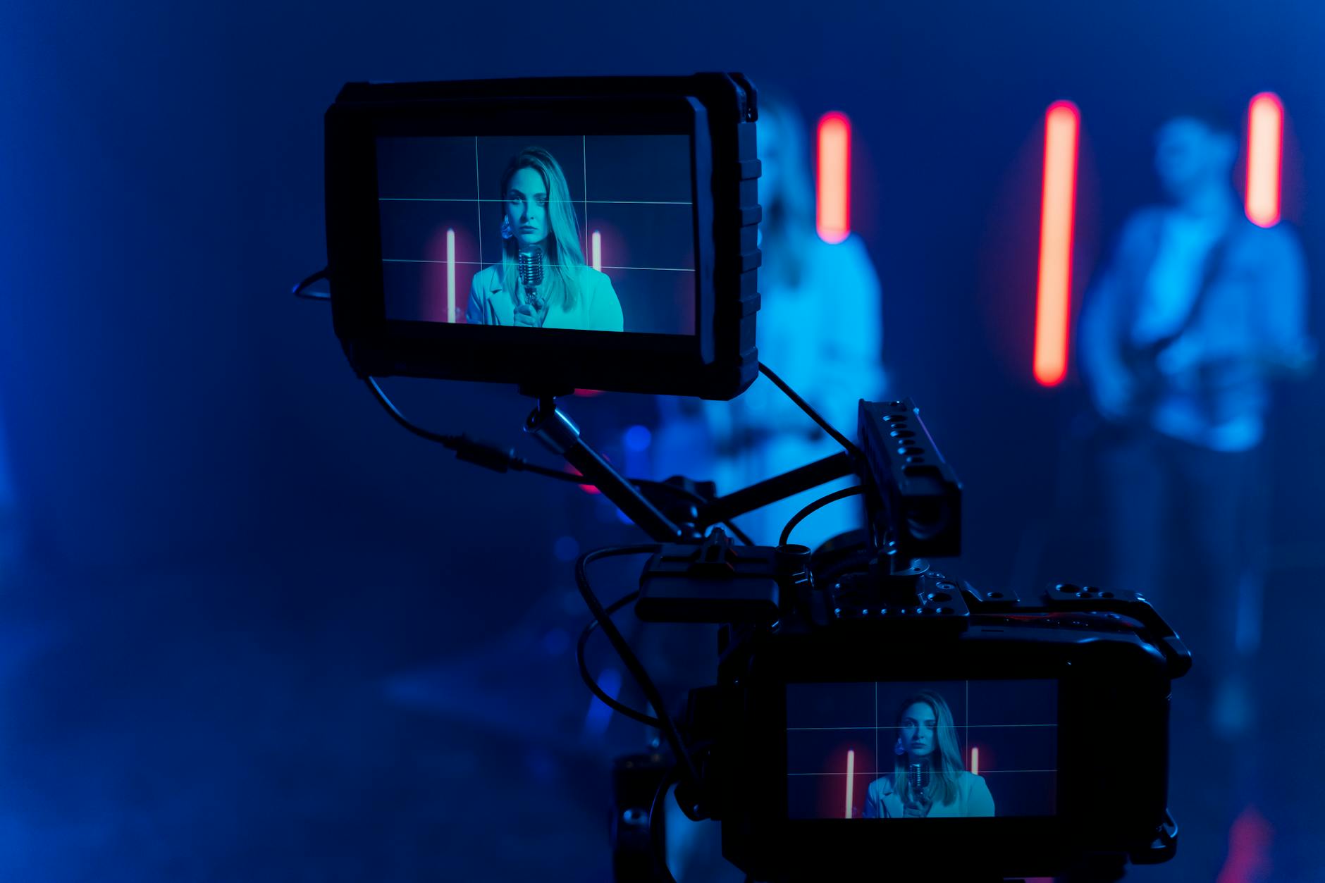
Drone real estate photography has revolutionized how properties are marketed and showcased, especially in vibrant markets like Miami. Utilizing unmanned aerial vehicles equipped with high-resolution cameras allows real estate professionals and property owners to capture stunning aerial views, providing potential buyers with a comprehensive perspective of the property's layout, surroundings, and key features. This method of photography is particularly advantageous for listing waterfront properties, large estates, or commercial spaces that benefit from expansive visual coverage.
In the competitive Miami real estate scene, high-quality drone imagery can significantly enhance a property’s visual appeal, making listings stand out in online platforms and print advertisements. The dynamic aerial shots add depth and context that traditional ground photography often cannot deliver, helping buyers envision themselves within the space and its environment.
Drone photography offers several benefits including increased engagement, improved listing visibility, and the ability to showcase unique aspects of a property’s location and architecture. Miami’s distinctive coastal views, vibrant cityscape, and luxury developments make aerial shots especially compelling, adding value to marketing campaigns. These advantages make drone photography an essential tool for real estate agents committed to maximizing each property’s market exposure.
Beyond marketing, drone footage can also assist in providing detailed documentation for property assessments, land surveys, and development planning. As the technology evolves, high-resolution imaging from drones continues to become more accessible and vital for comprehensive real estate presentations.
Factors Influencing Drone Photography Costs
When evaluating the expense associated with drone real estate photography, it is essential to understand the various factors that can influence the final cost. These factors ensure that clients receive high-quality imagery tailored to their specific needs and that service providers can deliver consistent results.
One of the primary determinants of cost is the property size. Larger estates or expansive commercial sites require more extensive flight time, multiple high-altitude shots, and sometimes additional equipment to capture every angle and feature comprehensively. In contrast, smaller residential properties typically entail shorter shoot durations and less complex setups, resulting in lower costs.
Location also plays a critical role. Properties situated in densely populated or restricted areas may involve more logistical planning, such as obtaining permits or navigating flight restrictions. These additional considerations can increase operational expenses, thereby influencing overall pricing.
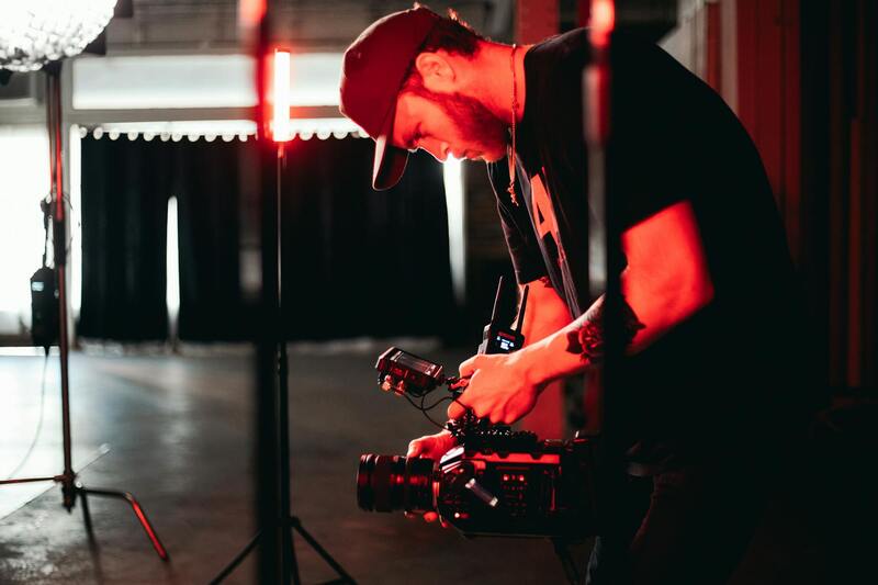
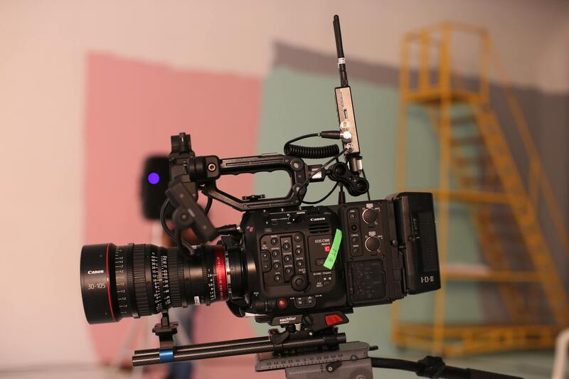
Equipment quality and type impact pricing as well. High-end drones equipped with 4K or higher resolution cameras, advanced stabilization systems, and interchangeable lenses provide superior image quality but come with higher rental or operational costs. Service providers investing in the latest technology often factor these expenses into their pricing structure to maintain high standards of output.
The complexity of the shots required can also influence the cost. Simple aerial shots, such as standard overhead views, are generally less time-consuming than detailed drone videos or 360-degree panoramas that involve multiple angles, flying patterns, and post-processing efforts. Special shots like night photography or shots under adverse weather conditions tend to increase both hours needed and skill levels required, impacting overall pricing.
Additional costs to consider include travel expenses for sites outside the immediate service area, the need for special permits or insurance, and post-processing work involving image editing or video editing services. These additives ensure the final product meets professional standards and aligns with the property’s marketing strategy.
Ultimately, understanding these diverse factors allows clients to anticipate potential costs and discuss tailored options with drone service providers. Recognizing what influences pricing helps in making informed decisions, ensuring that investments in drone photography translate into visible value in property marketing efforts and listings.
Understanding Drone Real Estate Photography
Drone real estate photography has become an essential component of modern property marketing strategies, offering stunning aerial views that capture the full scope of a property's features and surroundings. By utilizing advanced unmanned aerial systems, real estate professionals can showcase properties from angles previously inaccessible or cost-prohibitive with traditional methods, creating compelling visual narratives that attract prospective buyers.
Effective drone photography involves more than just flying a camera-equipped drone over a property; it encompasses a range of technical and creative considerations. These include selecting appropriate flight patterns, maintaining optimal altitudes to avoid distortion, and capturing images at the best times of day for lighting. Post-processing also plays a significant role, as editing techniques refine images to highlight architectural details, landscape features, and neighborhood amenities. The combination of these factors ensures that the visual content stands out in competitive property listings, resulting in faster sales and higher perceived value.
As the technology advances, the quality and complexity of drone imagery continue to improve, prompting service providers to adopt the latest equipment and techniques. Simultaneously, the growing demand for distinctive visuals makes drone photography a worthwhile investment for sellers and agents aiming to differentiate their listings. Understanding the core elements of drone real estate photography provides clarity on the value delivered and helps set realistic expectations for the costs involved.
Factors Affecting Drone Real Estate Photography Cost
The cost of drone real estate photography in Miami is determined by multiple technical and service-related factors. Understanding these elements can help property owners and agents make informed decisions about their investment in aerial visuals. Here are the primary considerations that influence pricing:
- Flight Duration and Number of Exposures: Longer shoots typically incur higher fees, especially if multiple angles or detailed shots are required. The duration also correlates with the complexity of the shots, including the number of photos or video clips needed to showcase the property comprehensively.
- Equipment Quality and Specifications: The type of drone used significantly impacts the cost. High-end drones with advanced stabilization, high-resolution cameras, and obstacle avoidance systems tend to be more expensive, and their operation might involve higher service charges.
- Location and Accessibility: Properties situated in hard-to-reach or restricted areas may require additional planning, permits, or special equipment, which can increase the overall cost.
- Preparation and Post-Processing: Services that include comprehensive editing, color correction, and image enhancement are more costly due to the added workload. Similarly, the time required for post-shoot processing can affect the final price.
- The Experience of the Pilot: Certified and highly experienced drone operators can command higher rates because they often ensure high-quality imagery with minimal errors, reducing the need for re-shoots.
- Complexity of the Package: Customized packages that combine aerial photography with videography, virtual tours, or branding elements will typically have a higher cost compared to basic drone photo shoots.
Typical Pricing Range for Drone Real Estate Photography in Miami
In Miami, the market for drone real estate photography shows a broad spectrum of pricing, reflective of the diverse services and quality levels offered. Standard packages generally start at around $150 to $300 for basic aerial photos of smaller properties, with longer or more complex shoots ranging from $300 to $700. For comprehensive services that include high-definition videos, 3D virtual tours, and extensive editing, prices commonly extend upwards of $800 to $1,200 or more. It’s essential for property owners to evaluate the scope of their needs against these market ranges to choose an appropriate service package.
Additional Costs and Upcharges
When considering drone real estate photography services, it's important to account for potential additional costs that could impact the overall budget. These supplementary fees are often associated with specific requirements beyond the standard offerings. For example, extra editing work may be necessary to enhance images or videos, especially if clients request tailored adjustments to match branding or aesthetic standards. Such post-processing can significantly add to the project's expense, particularly for high-resolution images or complex virtual tour productions.
Rush delivery is another common upcharge, especially in cases where property listings demand expedited turnaround times. Clients needing rapid content to meet marketing deadlines should anticipate higher fees to prioritize their project. Drone rental fees can also come into play if the service provider does not supply equipment or if specialized drones are needed for specific shots, such as those requiring higher stability or advanced camera systems.
Moreover, some providers may charge for on-site assessments or for the use of advanced stabilization gear to ensure the highest image quality, especially in challenging weather conditions. When planning your budget, it’s beneficial to clarify these potential fees upfront and request detailed pricing to avoid surprises. Carefully reviewing service packages for what is included helps property owners ensure their investment aligns with the desired outcomes, especially when working within specific marketing timelines or with particular aesthetic specifications.
Pricing Models and Packages
To accommodate the varying needs of real estate professionals and property owners, many drone photography service providers adopt diverse pricing models and package options. A common approach is flat-rate packages that include a set number of drone shots, video clips, and basic post-processing. These packages are often tailored for standard property listings, offering a comprehensive visual showcase at a predictable cost.
Some providers offer tiered packages, allowing clients to select a baseline option and add features such as higher-resolution imagery, virtual tours, or cinematic video sequences. This modular pricing approach provides flexibility, enabling clients to customize their content based on the property's uniqueness and marketing strategy.
Hourly rates are also prevalent, especially for projects requiring extensive flight time or multiple location shoots within a single day. In this case, costs can vary depending on the complexity of the shoot, access to hard-to-reach areas, and specific client requests.
Additionally, bundled services that combine drone photography with traditional real estate photo sessions, 3D tours, and floor plan renderings are common. These comprehensive packages provide a one-stop solution, often at a discounted rate compared to purchasing services individually.
Additional Costs and Upcharges
While the base rates offer a clear starting point for budgeting, property owners should be aware of potential additional charges that can influence the final cost. Extra editing to enhance image quality or tailor visuals to specific branding standards can incur additional fees, especially if high-resolution outputs or complex montage work are sought.
Rush delivery requests are frequent in fast-paced real estate markets, and expedited turnaround times may demand a premium. Clients seeking quick edits and immediate uploads to listing platforms should factor these costs into their financial planning.
Equipment-specific costs are relevant when specialized drone hardware is necessary. For instance, capturing high-definition 4K video or utilizing stabilized gimbals for smooth footage may require the use of advanced equipment, which can increase rental or operational expenses.
On-site assessments or repeated shoot days due to weather complications can also add to the overall expense. Some providers charge for initial consultation visits to evaluate property suitability, assess potential aerial shots, or plan optimal flight paths.
It is advisable for clients to request detailed pricing breakdowns upfront, clarifying what is included in the base rate and understanding the circumstances that might trigger additional fees. This careful planning ensures transparency and helps property owners allocate their marketing budgets more effectively.
Understanding Drone Real Estate Photography
Drone real estate photography has transformed the way properties are marketed by providing unique aerial perspectives that highlight the overall scope and appeal of a property. Using unmanned aerial vehicles equipped with high-resolution cameras, professionals capture stunning images and videos that enhance online listings, staging, and promotional materials. These visuals not only attract more potential buyers but also allow for comprehensive showcases of larger properties, estates, and commercial spaces. The precision and adaptability of drone technology make it a valuable tool for real estate agents and property owners seeking to differentiate their offerings in a competitive market.
The integration of drone imagery supports enhanced storytelling, creating a compelling narrative around each property. Aerial shots can reveal landscape features, proximity to amenities, and the property's layout in ways traditional ground photography cannot match. As the demand for immersive virtual tours increases, drone photography offers a cost-effective solution to generate engaging content that elevates the property's perceived value and encourages faster sales.
Factors Influencing Drone Photography Costs
Several key elements contribute to the overall pricing of drone real estate photography services. These include the complexity of the shoot, the type of equipment used, required flight time, and post-production editing. Larger or multi-story properties typically demand more flying time and extensive planning, which can increase costs. Additionally, the use of advanced camera stabilization systems, 4K or 8K resolution imaging, and specialized editing techniques can carry extra fees. The experience and certification of the drone pilot also influence pricing, as highly qualified operators tend to command higher rates. Weather conditions, accessibility of the site, and the need for multiple shooting days are other variables that can impact the final cost.
Average Pricing Range in Miami
In the Miami area, the typical cost for professional drone real estate photography varies based on service providers and the scope of work. Most professionals charge between $200 and $500 for a standard property shoot, which usually includes several high-resolution images and a brief video clip. For larger estates or commercial properties, prices can range from $500 to $1,200 or more due to the increased effort and advanced equipment involved.
Some providers may offer bundled packages that combine drone imagery with traditional photography, virtual tours, or 3D modeling, often providing better value for comprehensive marketing campaigns. It is important for property owners to clarify what is included in the quoted price, such as number of photos, video length, and editing services, to compare effectively across providers.
Pricing Models and Packages
Drone photography services typically follow two main pricing models: flat-rate packages or hourly rates. Flat packages often provide a set of deliverables tailored to residential or commercial clients, making budgeting straightforward. These packages may include pre-determined numbers of images, video clips, or virtual tour segments.
Conversely, hourly rates, commonly ranging from $100 to $250 per hour, are suitable for customized shoots that require flexibility or multiple property visits. Some service providers also offer tiered packages, where basic services are supplemented with add-ons such as drone mapping, 360-degree panoramas, or detailed editing, allowing clients to select options that best meet their marketing goals and budgets.
Additional Costs and Upcharges
While base rates provide a fundamental understanding of drone photography expenses, additional charges may apply depending on specific project needs. For example, complex editing tasks such as color correction, image stitching, or enhanced visual effects may incur extra fees. Rush processing requests, particularly those demanding quick turnaround times, often attract premiums due to the prioritization required.
Other potential costs include the use of specialized equipment, such as 4K or 8K cameras, multi-rotor stability gimbals, or thermal imaging devices, in cases where property features or conditions necessitate advanced hardware. Repeating shoots caused by weather issues or site accessibility challenges may also increase expenses. It is advisable for clients to request detailed estimates that itemize these potential charges upfront to avoid surprises and maintain control over their marketing budgets.
Future Trends Affecting Drone Photography Costs
As the landscape of real estate marketing continues to evolve, advancements in technology and shifting client expectations are poised to impact the cost structure of drone real estate photography. Emerging innovations such as high-resolution imaging, autonomous flight capabilities, and enhanced stabilization systems are gradually becoming more accessible. These technological improvements often come with initial investments that may influence service pricing as providers incorporate cutting-edge equipment to offer superior quality visual content.
Moreover, the integration of artificial intelligence (AI) and machine learning algorithms is set to streamline editing processes, enabling quicker turnaround times and potentially reducing post-production expenses. AI-driven software can automatically enhance images, correct colors, and stitch panoramic views with minimal manual intervention. While these tools can improve efficiency, the investment required for such advanced software and hardware may translate into higher service rates initially, until widespread adoption stabilizes costs.
Market demand for comprehensive property marketing solutions is also increasing. Many clients now seek services that go beyond basic imagery, including interactive virtual tours, 3D modeling, and augmented reality (AR) features. Offering these innovative options often involves additional hardware and software components, which may be reflected in the overall drone photography costs. Service providers investing in these technologies can command higher prices but often deliver richer, more engaging marketing assets that can significantly enhance property presentation.
Environmental considerations and restrictions around drone operations are also likely to influence pricing. As cities and municipalities implement new guidelines for drone flights, service providers may incur costs related to obtaining permits, training pilots, or ensuring compliance with local regulations. These compliance efforts ensure smooth project execution but can add to the overall expense, especially for complex or large-scale shoots.
Overall, the ongoing evolution of drone hardware, software capabilities, and regulatory frameworks is expected to make high-quality aerial photography more dynamic and versatile in the upcoming years. For clients, understanding these trends can aid in anticipating future pricing adjustments and in selecting service providers who stay ahead of technological developments to offer innovative, cost-effective solutions.