Overview of Drone Property Photography
Drone property photography has rapidly emerged as a transformative tool within the real estate industry, particularly in vibrant markets like Miami. By utilizing unmanned aerial vehicles equipped with high-resolution cameras, real estate professionals can capture expansive, detailed visuals of properties that were previously challenging or impossible to attain through traditional photography methods. This approach offers potential buyers a comprehensive perspective of a property's scope, surroundings, and unique features, ultimately enhancing marketing efforts and increasing engagement.
In Miami's competitive real estate landscape, high-quality imagery is critical for attracting prospective buyers. Drone photography provides dynamic aerial views of large estates, beachfront homes, commercial properties, and developments, showcasing features such as sprawling acreage, swimming pools, landscaped gardens, and proximity to landmarks. These striking visuals not only serve to highlight property value but also help set listings apart in digital marketplaces and social media platforms.
Moreover, drone property photography allows real estate agents to provide potential buyers with a contextual understanding of the property's location within the neighborhood. From bird's-eye views of surrounding streets to panoramic scenes of coastal vistas, these images can significantly influence perceptions and decision-making. As technology advances and drone equipment becomes more accessible, many Miami-based real estate professionals are integrating aerial photography into their marketing strategies to achieve a competitive edge.
Utilizing drone photography in real estate marketing not only improves visual appeal but also streamlines the viewing process by offering comprehensive visual information remotely. This is especially beneficial in the current climate where virtual tours and online listings are increasingly dominant. As a result, drone property photography has solidified its role as an essential component of modern real estate promotion in Miami.
Legal and Regulatory Considerations in Miami
Engaging in drone property photography within Miami requires adherence to several established frameworks that ensure responsible and effective operations. Property owners, real estate professionals, and drone operators need to understand the specific protocols that govern aerial imaging to prevent complications and uphold high standards of safety. While drones offer powerful capabilities for capturing stunning visuals, it is vital to follow verified procedures designed to optimize their use while respecting the local environment and community interests.
Operators must familiarize themselves with the official permits and clearances essential for flying drones over private and public property. Securing these approvals involves submitting detailed plans outlining flight paths, altitudes, and operational areas, which demonstrate alignment with safety specifications. This process is conducted through formal channels to ensure that drone activity aligns with city and regional guidelines, maintaining a smooth workflow and avoiding issues with authorities.
Monitoring adherence to FAA regulations is a core component of lawful drone operation. These federal standards specify flight altitude limits, line-of-sight requirements, and restrictions during certain hours to mitigate risks. Compliance with these rules ensures that drone flights for property photography are conducted safely and responsibly, preserving the integrity of both the aircraft and surrounding environments. For instance, flying within designated altitude margins prevents interference with manned aircraft and respects the privacy of residents.
Privacy considerations are also integral to operational planning. Drone photographers should avoid capturing images that intrude on private spaces or sensitive areas, especially residential backyards or private gardens. Proper operational procedures include establishing clear flight boundaries, informing property owners, and limiting footage to the agreed-upon areas to respect individual privacy rights. Being transparent about drone activities not only fosters trust but also maintains favorable community relations.
Local laws may impose additional constraints related to noise levels, flight times, and restricted zones, often around airports or government facilities. These restrictions aim to balance innovative aerial photography with community safety and order. To navigate these complexities, Miami-based drone operators typically consult municipal guidelines and collaborate with regulatory agencies to ensure all operations are compliant and efficient. By doing so, they safeguard their enterprise’s reputation while facilitating high-quality, legally sound property imagery.

Legal and Regulatory Considerations in Miami
Successfully executing drone property photography in Miami requires adhering to specific operational protocols that respect community standards and safety regulations. Drone operators must ensure their flight activities occur within authorized areas and at permitted altitudes, fostering an environment where aerial imaging can be performed seamlessly. Maintaining awareness of Miami’s designated restricted zones, such as areas near airports or sensitive government facilities, is essential to avoid disruptions and ensure smooth operations.
Operational planning must incorporate spectrum of considerations, including the avoidance of flight over private properties without consent, to honor individual rights and privacy expectations. Clear communication with property owners prior to flight sessions helps in establishing boundaries and obtaining necessary permissions. Restricting footage to specific locations not only aligns with community standards but also underscores a professional approach that prioritizes respect and transparency.
Additionally, understanding local altitude and time-of-day limits allows for optimal image capture while minimizing noise disturbance and avoiding flight conflicts. Many practitioners consult Miami’s municipal guidelines and coordinate with relevant authorities to confirm all flight plans meet established protocols, thus avoiding unintended breaches that could compromise safety or image quality. This disciplined approach promotes dependable service delivery, keeping operations consistent and trustworthy.
Maintaining Privacy and Community Trust
Upholding privacy is a cornerstone of professional drone property photography. By establishing predefined flight boundaries, informing property owners, and limiting footage to permissible areas, drone professionals demonstrate responsibility and respect for residents’ rights. Transparency about drone operations not only mitigates misunderstandings but also enhances community relations, fostering long-term collaborations and repeat business.
Moreover, adherence to noise limits and flight schedules helps maintain a positive rapport with neighbors and local authorities. Such disciplined practices safeguard the integrity of drone services and mitigate potential disputes, creating a seamless experience that aligns aerial imaging capabilities with community expectations. When combined with meticulous planning and respect for legal boundaries, these standards form the foundation of thriving drone photography enterprises in Miami.
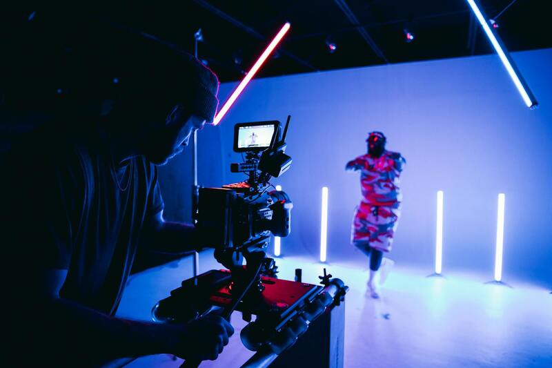
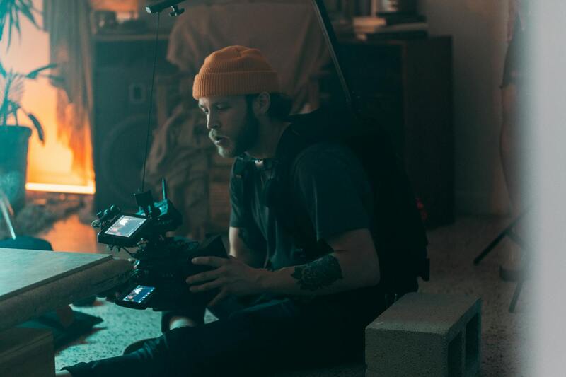
Essential Techniques for Optimal Drone Property Photographs
Capturing high-quality aerial images of properties requires more than just flying a drone above a residence. It involves strategic planning, precise execution, and a keen eye for detail. A comprehensive understanding of flight corridor planning, camera settings, and environmental factors significantly influences the outcome of drone property photography in Miami.
Flight planning begins with assessing the property’s layout, surrounding structures, and potential obstructions. Utilizing dedicated flight planning software allows operators to establish safe, efficient routes that maximize coverage while adhering to specified altitude limits and no-fly zones. This eliminates unforeseen obstacles and ensures smooth operations, thereby safeguarding the integrity of the footage.
Camera angle selection plays a pivotal role in showcasing the property’s features effectively. High-angle shots from directly above tend to emphasize property boundaries and overall layout, while oblique angles can highlight architectural details and landscape features, creating a compelling visual story.
Adjusting camera settings—such as aperture, shutter speed, ISO, and white balance—is essential for optimizing image clarity, color accuracy, and exposure. Properly calibrated cameras ensure consistent quality and facilitate seamless post-processing, offering potential clients a polished, professional presentation of their property.
Regulating Flight Operations for Consistent Results
Maintaining consistency in drone property photography across different projects involves standardizing flight parameters. This includes establishing uniform flight heights, camera angles, and exposure settings tailored to the unique characteristics of each property. By doing so, professionals in Miami can deliver reliable visuals that meet client expectations and support marketing objectives.
Ideal weather conditions, such as clear skies, low wind speeds, and optimal lighting, significantly improve both safety and image quality during drone flights. Scheduling shoots during golden hours—early morning or late afternoon—can introduce natural lighting that enhances the aesthetic appeal of aerial shots, while minimizing harsh shadows and glare.
Leveraging Post-Processing for Impactful Marketing Materials
Post-processing plays a critical role in transforming raw drone footage into captivating marketing assets. Adjustments in color grading, sharpness, and contrast help highlight the property’s attributes and aesthetic appeal. Techniques such as panoramic stitching can create wide-angle views for comprehensive listings, while selective editing draws attention to specific features like pools, gardens, or architectural details.
Incorporating virtual staging or 3D modeling within drone imagery further elevates the property's presentation, providing prospective buyers with a vivid, immersive experience. High-quality visuals not only increase engagement but also accelerate the decision-making process, which is essential within the competitive Miami real estate market.
Maintaining Accuracy and Authenticity in Drone Visuals
While enhancing images is fundamental, transparency regarding the editing process ensures the authenticity of visual content. Avoiding excessive manipulation preserves the credibility of property listings. Providing clients with original, unaltered images alongside retouched versions helps build trust and showcases a commitment to integrity.
Using the latest drone technology that captures high-resolution images and videos ensures the finished product reflects the true state of the property. Details like roofing, landscaping, and exterior finishes are more accurately represented, allowing clients to make informed decisions based on reliable visuals.
Ensuring Safety During Drone Operations
When conducting drone property photography in Miami, prioritizing safety is paramount. Operators should conduct thorough pre-flight checks to verify that all equipment is functioning correctly and that the drone's firmware is up to date. It is essential to assess the environment for potential hazards such as power lines, tall trees, or other obstructions that could interfere with drone flight paths.
Maintaining a safe distance from people, pets, and vehicles during outdoor shoots prevents accidents and ensures legal compliance. Using visual observers or spotters can assist in monitoring surroundings and maintaining situational awareness.
During flight, operators should adhere to prescribed altitude limits and avoid restricted zones such as airports or military bases by consulting official maps and notices. This vigilance minimizes the risk of trespassing or inadvertent breaches of airspace restrictions, which are based on designated operational guidelines.
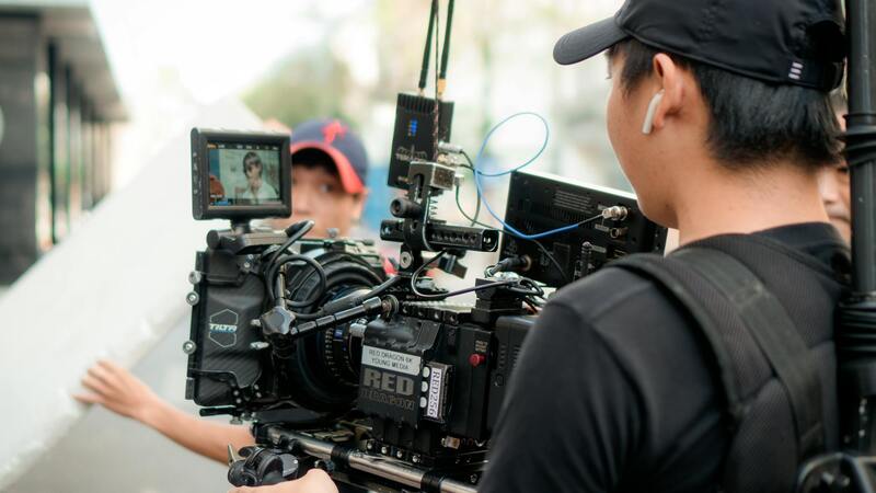
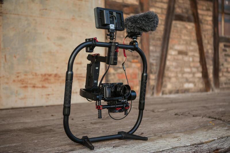
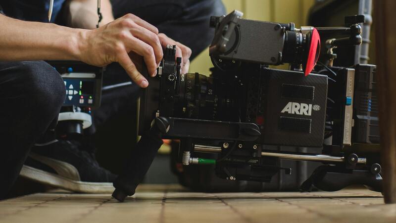
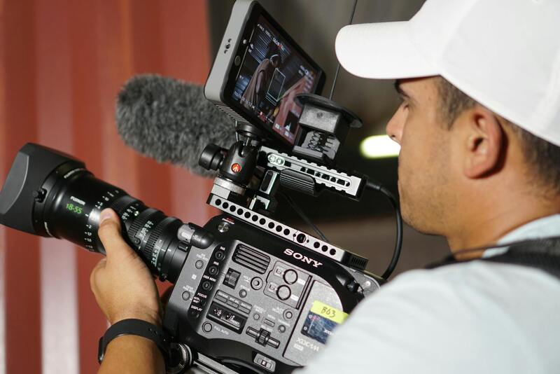
Utilizing Trusted Platforms and Equipment
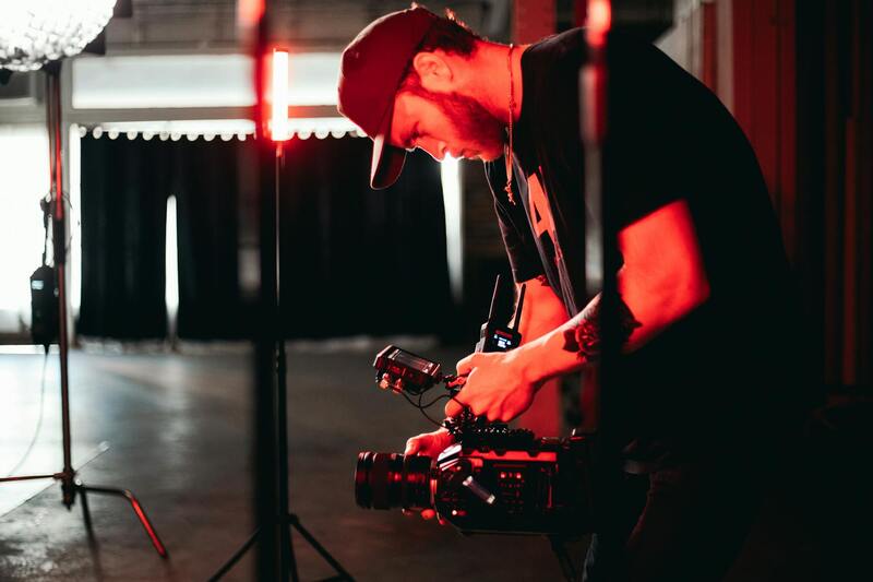
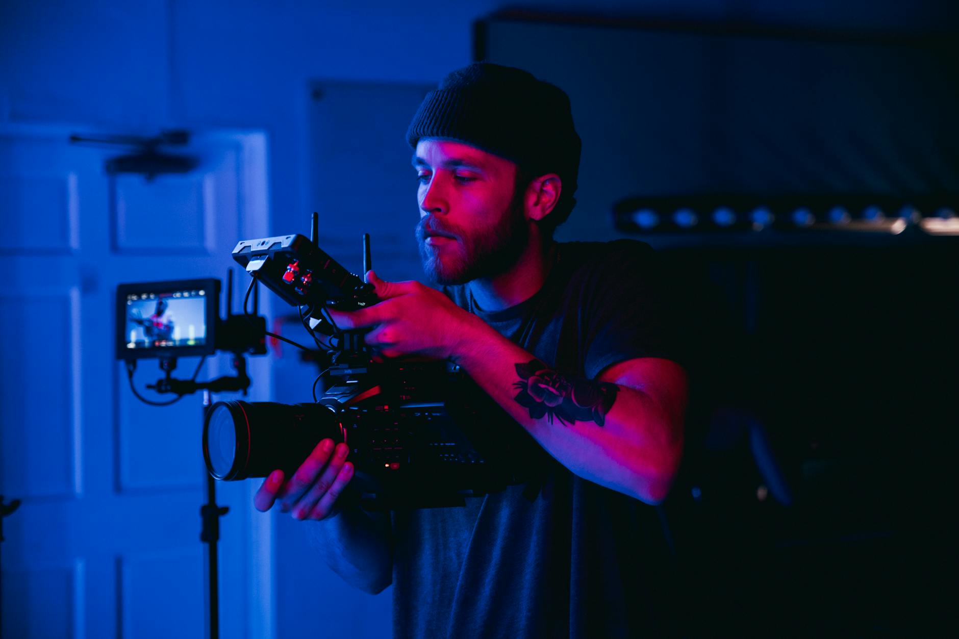
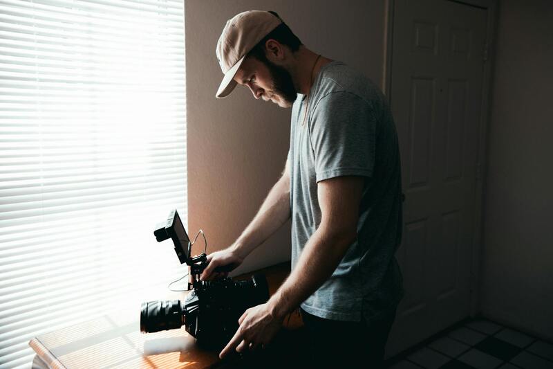
To produce reliable and high-quality drone property images, it is crucial to use equipment from reputable manufacturers recognized for durability and advanced imaging capabilities. Opt for drones equipped with high-resolution sensors and stabilized gimbal systems to ensure sharp, clear visuals even in challenging weather conditions.
Calibration of camera settings such as ISO, shutter speed, and aperture before each flight helps achieve optimal exposure and clarity. Regular maintenance and updates of drone firmware and camera software also prevent operational issues during shoots.
Employing professional-grade remote controllers and GPS systems ensures precise maneuvering and positioning, enabling detailed shots of properties from various angles and altitudes.
Implementing Robust Flight Planning and Documentation
Meticulous flight planning is fundamental for efficient drone property photography. This involves mapping out the flight path, determining optimal altitudes, and scheduling captures based on natural lighting conditions to highlight property features effectively.
Using flight planning software with geo-fencing capabilities can define safe operational zones, preventing unintended encroachments into restricted areas. It also aids in maximizing coverage of the property, especially for expansive estates or complex layouts.
Comprehensive documentation of each flight, including route details, camera settings, and environmental conditions, supports accountability and continuous improvement in aerial photography practices.
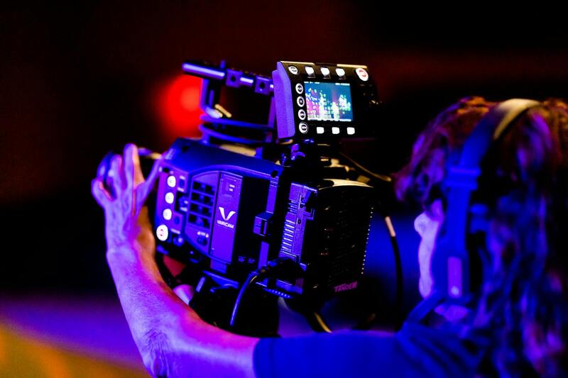
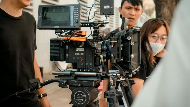
Types of Drone Equipment and Technology
Choosing the appropriate drone equipment is crucial for capturing high-quality property images that stand out in Miami’s competitive real estate market. Modern drone technology has advanced significantly, offering a wide range of features tailored to aerial property photography. High-resolution sensors are standard in premium drones, providing crisp, detailed visuals that highlight property features effectively. This is particularly important for showcasing expansive estates, intricate architectural details, or lush landscaping.
Stabilization technology, such as advanced gimbal systems, ensures smooth footage and sharp images even when flying in windy conditions or over uneven terrain. Camera stabilization is vital for producing professional-grade visuals that can be used across various marketing platforms.
Moreover, multi-sensor drones equipped with thermal imaging and zoom capabilities expand the range of visual storytelling. Thermal sensors can reveal energy inefficiencies in property insulation, while optical zoom allows for detailed inspections without needing to change flight altitude.
Autonomous flight modes, such as waypoint navigation and obstacle avoidance, enhance efficiency and safety, enabling precise flight paths to capture complex property layouts with minimal manual control. GPS-enabled drones facilitate accurate positioning, repeatable flight paths, and seamless integration with mapping software.
In addition, drones equipped with long battery life ensure extended flight sessions to cover large properties, reducing the need for multiple flights and streamlining the photography process. Considering these technological aspects allows real estate professionals in Miami to obtain exceptional visuals that meet marketing needs and elevate property listings.
Overview of Drone Property Photography
Drone property photography has revolutionized the real estate marketing landscape by offering aerial perspectives that were previously unattainable through traditional means. Utilizing unmanned aerial vehicles equipped with high-resolution cameras, drone photography allows for comprehensive visual documentation of properties, highlighting their grandeur, architectural uniqueness, and surrounding landscapes. These images and videos can effectively showcase property boundaries, proximity to local amenities, and the overall environment, providing potential buyers with a vivid understanding of the property’s context. The dynamic, high-angle shots enhance online listings, making them stand out in a competitive Miami market. Furthermore, the ability to capture twilight or sunset shots lends a cinematic quality that elevates property presentations. For real estate agents and property owners committed to maximizing appeal, drone photography is an invaluable tool in creating engaging, detailed, and immersive marketing content.
Legal and Regulatory Considerations in Miami
Conducting drone property photography in Miami entails navigating a structured framework of operational guidelines designed to ensure safety, privacy, and responsible usage. While the city encourages innovation and the adoption of drone technology, professionals must adhere to specific protocols that govern flight altitude, flight zones, and timing, especially in residential and commercial areas. Establishing permission from property owners and understanding local airspace classifications is crucial before executing any drone operation. Additionally, operators should respect privacy boundaries to avoid capturing private or sensitive information inadvertently. Acquiring necessary certifications or licenses, where applicable, and maintaining insurance coverage further support a compliant operation. Engaging with local authorities for permits or notifications, particularly when flying over densely populated zones or famous landmarks, helps streamline the process and uphold ethical standards in aerial property photography.
Key Legal Practices include:
- Obtaining prior consent from property owners.
- Respecting no-fly zones and restricted airspaces.
- Maintaining a line of sight during all flights.
- Limiting flight altitude as per local guidelines.
- Avoiding flight over crowds or events without special authorization.
Types of Drone Equipment and Technology
Choosing the right drone gear is critical to capturing high-quality property visuals in Miami. Modern drones come equipped with various advanced features:
- High-Resolution Cameras: Capable of capturing ultra-high-definition images and 4K videos to showcase properties with exceptional detail and clarity.
- Gimbal Stabilization: Ensures smooth footage even in windy conditions or when navigating complex terrains, providing professional-grade visuals.
- Thermal Imaging Sensors: Useful for inspecting building energy efficiency or detecting heat leaks and infrastructure issues.
- Zoom Capabilities: Optical zoom features allow for close-up inspections or detailed shots without physical proximity, protecting privacy and safety.
- Autonomous Flight Modes: Features like waypoint navigation and obstacle avoidance help execute precise and safe flight paths, especially around complex property layouts.
- Extended Battery Life: Ensures longer flight times to cover expansive properties and multiple vantage points without frequent landings.
Best Practices for Capturing Property Shots
Executing effective drone shots involves strategic planning and technical skill. According to industry standards, operators should begin by scouting the property to identify optimal flight paths that highlight key features such as entrances, landscaping, and unique architectural details. Before launching, conduct a thorough pre-flight check of equipment, weather conditions, and airspace parameters. During flight, maintain smooth camera movements and consistent exposure settings to produce professional visuals. Use a variety of angles and altitudes to create a compelling visual narrative, emphasizing the property's scale and surroundings. Additionally, capturing footage during different times of the day, such as dawn or dusk, can add depth and ambiance to the images. Post-flight, reviewing footage for clarity and completeness ensures that only the bestshots are used for marketing. Integrating these best practices guarantees state-of-the-art visuals that resonate with prospective buyers and elevate listing appeal.
Additional Tips:
- Maintain stable flight paths to prevent blurry images.
- Utilize manual camera settings for optimal exposure and color accuracy.
- Capture multiple angles to provide a comprehensive view of the property.
- Coordinate with other marketing components, such as photographs and ground videos, for a unified presentation.
Comprehensive Marketing Strategies Using Drone Property Photography
Integrating drone property photography into your real estate marketing plan expands the vehicle of visual storytelling, captivating potential buyers with engaging, dynamic content. When executed professionally, aerial images and footage can significantly enhance property listings across multiple platforms, including websites, social media, and virtual tours. A strategic approach involves creating a diverse media package that includes high-resolution aerial images, 4K video walkthroughs, and panoramic shots, each tailored to highlight the unique architectural features and natural surroundings of Miami properties.
Developing a Cohesive Visual Narrative
Consistency in visual storytelling is critical. High-quality drone footage merges seamlessly with ground-based photography, offering a comprehensive view of the property. Plan shoots to accentuate key selling points, such as expansive outdoor living spaces, waterfront access, or scenic landscaping, especially in Miami’s diverse environments. Use aerial shots at different times of day to showcase lighting and atmosphere, creating a compelling narrative that resonates with prospective buyers.
Enhanced Digital Listings and Virtual Engagements
Drone visuals elevate online property listings by providing prospective buyers with immersive, interactive content. Incorporate aerial images into virtual tours or 3D models to give viewers a sense of space and proportion. These technological enhancements enable a deeper understanding of the property layout, surroundings, and proximity to key amenities.
Strategic Social Media Campaigns and Advertising
Leveraging social platforms with targeted advertising campaigns featuring drone content amplifies outreach efforts. Short aerial clips or panoramic vistas can generate significant engagement, increasing visibility among potential clients. Tailoring content to highlight Miami’s vibrant lifestyle and scenic coastal landscapes can align your property marketing with the region’s desirable traits.
Alignment with Broader Marketing Initiatives
Drone property photography should harmonize with the overall branding and marketing strategy. Consistent visual style, tone, and messaging across all media reinforce brand recognition and trust. Collaborate with local real estate agents, developers, and marketing specialists to ensure drone content complements other promotional efforts, such as open houses, print brochures, and advertising campaigns.
Measuring Impact and ROI
Track engagement metrics and lead generation attributed to drone-enhanced marketing content. Analytics tools can assess how aerial visuals influence viewer interaction, time spent on listings, and inquiry rates. This data informs ongoing content refinement, ensuring each visual element maximizes property appeal and marketing effectiveness.