Overview of Aerial Property Photography
Aerial property photography involves capturing high-quality images and videos of real estate or land parcels from an elevated perspective, typically utilizing advanced drone technology. This specialized form of photography allows for comprehensive visualization of properties, highlighting architectural details, landscaping, surrounding environment, and property boundaries from an overhead viewpoint. Such imagery provides potential buyers, investors, and stakeholders with a more complete understanding of the property’s layout, scale, and features, which is often difficult to achieve through traditional ground-level shots.
In the competitive realm of real estate marketing, aerial property photography has become a vital tool for distinguishing listings and attracting interest. By showcasing a property’s external features, proximity to amenities, and neighborhood context, aerial images help create a compelling narrative that engages viewers instantly. These visuals not only serve as an effective marketing asset but also facilitate more informed decision-making, enabling prospective buyers to assess the property’s appeal and suitability efficiently.
Furthermore, aerial property photography supports various industry needs beyond real estate sales, including land development, construction monitoring, and insurance documentation. Its ability to deliver detailed, comprehensive views from different angles makes it invaluable across multiple sectors requiring precise and impactful visual content.
Utilizing UAV (Unmanned Aerial Vehicle) technology, responsible and professional aerial photography ensures safety, accuracy, and stunning results, setting a standard for quality and credibility in property marketing efforts. This approach exemplifies the modern evolution of real estate promotion, emphasizing clarity, visual storytelling, and strategic presentation to maximize property appeal and drive sales.
Legal Regulations and Permits for Aerial Filming in Miami
Executing aerial property photography in the Miami area entails adherence to specific operational guidelines and obtaining necessary authorizations. Prior to launching drone flights for capturing real estate visuals, operators must ensure compliance with established standards that govern drone usage within the city and broader state jurisdiction. Proper authorization involves securing permissions that verify the drone operation complies with airspace management protocols, safety requirements, and privacy considerations.
Proactive coordination with local aviation authorities and relevant agencies is essential to guarantee that all aerial activities are conducted within permissible parameters. This process typically includes submitting flight plans, providing proof of drone registration, and demonstrating pilot certification. Utilizing mapping tools that outline no-fly zones—such as near airports, heliports, or special-use airspace—helps prevent unauthorized flights that could interfere with other air traffic or infringe on protected areas.
Understanding local restrictions and environmental considerations is also vital. For example, flying over densely populated neighborhoods requires additional caution and planning, often involving daytime operations and maintaining visual line of sight with the drone. This ensures that aerial photography activities are both effective and responsible, aligning with the city’s operational guidelines.
Official Methods for Conducting Aerial Property Photography
When engaging in aerial property photography, especially within urban environments like Miami, adhering to established official methods ensures a seamless and professional process. The primary step involves proper drone registration, where the equipment used must be registered with the relevant aviation authorities, providing a unique identification number that tracks compliance with operational standards. Registrations are typically renewed periodically and must be displayed or documented during flights to verify adherence.
Securing the necessary operational permissions is equally vital. This often entails submitting detailed flight plans to local aviation agencies, outlining flight intentions, altitudes, and areas of operation. These documents are reviewed to confirm that flights will not interfere with manned aircraft or sensitive zones, such as airports or government facilities. Once approved, pilots may receive clearances that specify allowable times, altitudes, and routes for drone flights.
Implementing strict safety protocols is essential during aerial shoots. This includes pre-flight equipment checks, establishing safe takeoff and landing zones, and maintaining visual line of sight throughout the operation. Pilot certification further supports responsible drone operation; qualified pilots are familiar with airspace management, emergency procedures, and environmental considerations, ensuring all flights proceed smoothly and safely.
Ongoing communication with local authorities can help resolve potential issues quickly, especially if plans need adjustments due to weather or other operational constraints. Documented procedures, including permits, flight logs, and safety checklists, form a comprehensive framework that aligns with official standards, facilitating legal and efficient aerial property photography.
Compliance with these official methods not only protects operational integrity but also enhances the trustworthiness and credibility of the property marketing process. High-quality aerial visuals can significantly influence prospective buyers, and ensuring a transparent, responsible approach to drone usage guarantees sustained success in Miami's competitive real estate landscape.
Ensuring Proper Equipment and Techniques for Aerial Property Photography
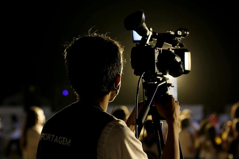
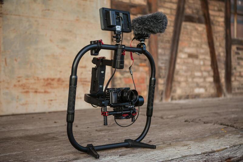
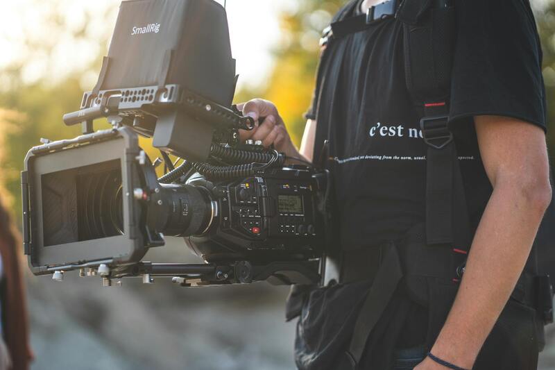
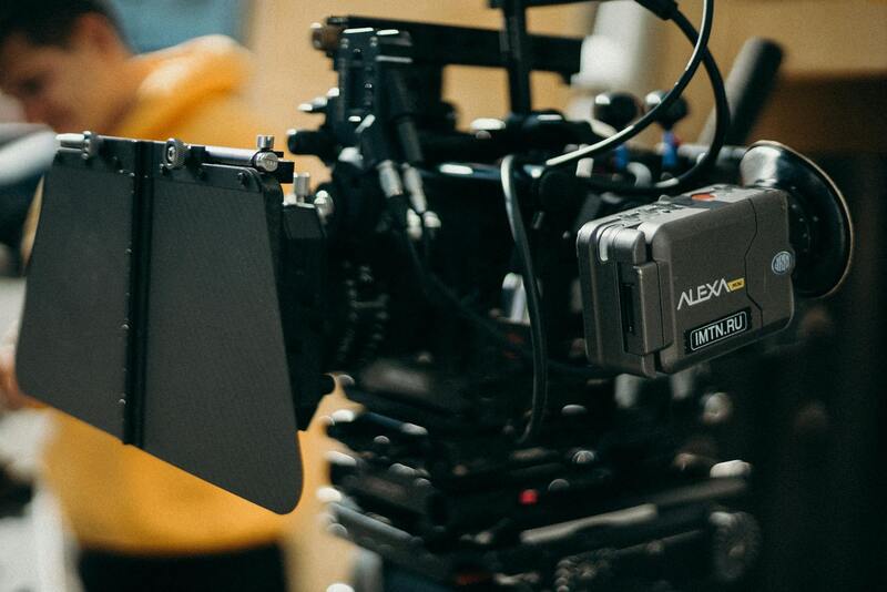
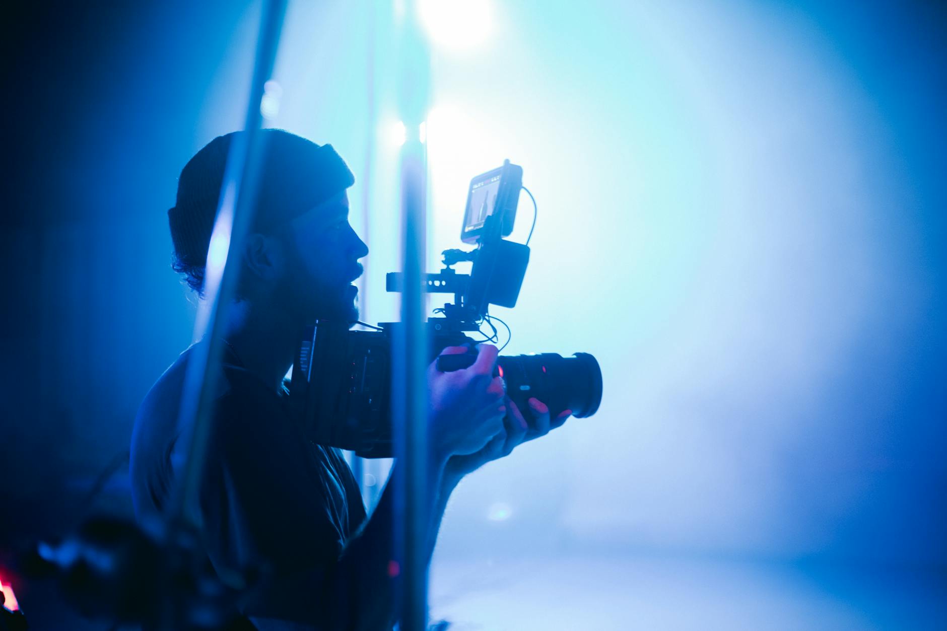
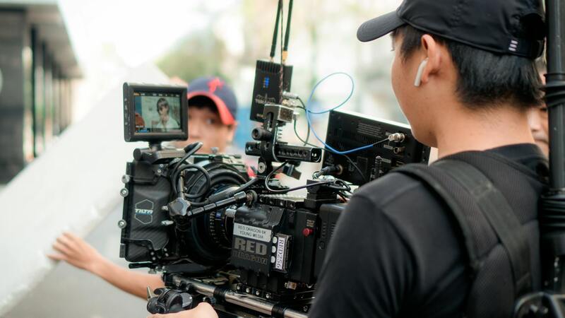
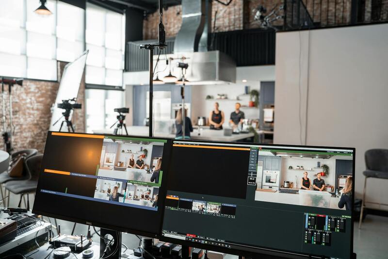
To capture high-quality aerial property images that highlight the property's best features, the selection of appropriate drone equipment and techniques is crucial. Professionals utilize advanced drones equipped with high-resolution cameras capable of capturing detailed imagery from various altitudes and angles. These drones often feature stabilized gimbals, which ensure smooth footage even in windy conditions, providing crisp, blur-free visuals. Additionally, multi-spectral and thermal cameras can be employed for specialized imaging, such as inspecting rooftops or assessing land conditions.
Precise flight planning plays a vital role in obtaining optimal results. Flight paths are designed to cover key aspects of the property, including aerial views of the entire estate, specific details like landscaping, exterior architecture, and unique features such as pools or outdoor living spaces. This involves a thorough assessment of the site to determine the best angles, altitudes, and times of day for shooting, often optimizing for natural lighting and weather conditions to enhance the visual appeal.
Pilots operating these drones adhere to strict pre-flight protocols, including sensor calibration and system checks, to ensure mission success. During the flight, maintaining a clear line of sight and consistent altitude helps prevent accidents and ensures footage quality. Post-flight, skilled editors process the captured images to adjust lighting, correct colors, and enhance clarity, delivering visually compelling materials suitable for property marketing.
Advanced drone equipment used in aerial property photography offers versatility and precision, which are essential attributes for producing engaging marketing visuals. Combining technical excellence with strategic planning ensures that each shot showcases the property's most attractive features, ultimately enhancing its marketability and appeal to prospective buyers.
Overview of Aerial Property Photography
Aerial property photography has transformed real estate marketing, providing high-impact visuals that showcase properties from unique perspectives. By capturing broad land vistas, architectural details, and expansive outdoor features, this technique elevates property listings, making them more attractive to prospective buyers. Utilizing aerial imagery allows real estate professionals to highlight the scale and context of a property in ways ground-level photos cannot. The ability to display neighboring amenities, landscaping intricacies, and waterfront access is particularly beneficial in markets like Miami, where location and outdoor appeal are critical selling points.
These images serve as powerful marketing tools, often used in online listings, brochures, and virtual tours. They help create a compelling narrative around the property’s unique features, emphasizing aspects such as modern architecture, luxurious landscaping, or proximity to key Miami landmarks. The strategic use of aerial photography can significantly shorten sales cycles by attracting more impressions and fostering emotional connections with viewers. As technology advances, the quality and accessibility of aerial imagery continue to improve, allowing even small-scale real estate agents to incorporate stunning visuals into their marketing strategies.
Types of Drone Equipment Used in Aerial Property Photography
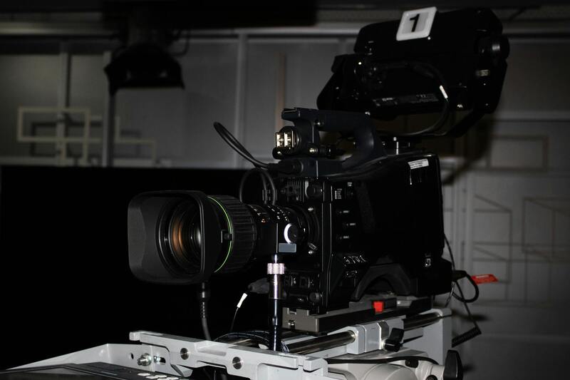
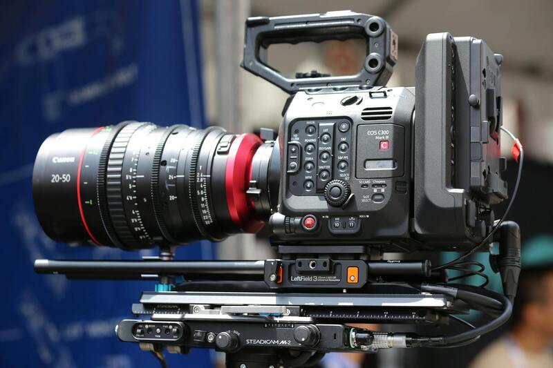
The complexity and quality of aerial photography hinge on the capabilities of the drone equipment employed. Modern drones for property photography are equipped with high-resolution cameras, often featuring gimbal stabilization systems that enable smooth, sharp footage regardless of flight conditions. These cameras typically capture images in 4K or higher resolutions, ensuring clarity at any zoom level and facilitating detailed inspections of architectural elements.
Specialized drone features include adjustable flight modes tailored for mapping or cinematic shots, as well as obstacle avoidance sensors that enhance operational safety. Additionally, aerial photography drones are capable of automated flight planning, allowing for precise control over shot angles, altitudes, and coverage areas. This level of sophistication ensures comprehensive and visually stunning representations of properties. In Miami’s competitive real estate market, investing in high-quality drone equipment can make a significant difference in producing persuasive marketing content.
The selection of equipment also considers operational endurance, with some drones capable of extended flights to cover large estates or multiple vantage points. Combined with professional piloting skills, this technology enables the creation of captivating visuals that highlight each property’s finest features, driving increased interest and engagement.
Legal Regulations and Permits for Aerial Filming in Miami
Operating drones for aerial property photography within Miami’s vibrant real estate market involves adhering to specific procedural requirements designed to ensure safe and responsible flights. While the focus is on leveraging official channels and established procedures, understanding the procedural aspects is vital to maintain consistency and compliance. Permits are generally required for commercial drone operations, especially when flights take place over populated areas or involve sensitive locations. These permits often involve submitting detailed flight plans and demonstrating the operator’s competence and safety measures.
Local regulations are managed by federal and municipal aviation authorities, which set guidelines concerning flight altitudes, restricted zones, and operating hours. Miami’s busy airspace, proximity to Miami International Airport, and dense urban environment necessitate careful planning. Operators are encouraged to schedule flights during optimal weather conditions, avoiding restricted zones such as government buildings, military sites, and certain downtown areas. Additionally, drone pilots should be familiar with Miami’s specific operational allowances and restrictions, ensuring each shoot complies with governing procedures and maintains safety standards.
Pre-Flight Planning and Permissions
- Conduct thorough site assessments to identify potential hazards and optimal flight paths.
- Secure necessary permits or authorizations from relevant authorities, including municipal or aviation agencies.
- Establish clear communication protocols with property owners and local authorities.
- Develop contingency plans for weather changes or unexpected obstacles.
Ensuring proper adherence to these processes enhances the professionalism of aerial property photography efforts and safeguards all parties involved. Respect for regulatory protocols also helps maintain the integrity of the operation and fosters positive relationships with local communities and authorities.
Overview of Aerial Property Photography
Aerial property photography offers an expansive perspective that traditional ground-level images cannot capture. By integrating high-resolution aerial imagery, real estate professionals, property managers, and developers gain a comprehensive view of property layouts, surrounding landscapes, and unique features that attract prospective buyers or tenants. This approach highlights property size, architectural details, and its relationship to neighboring infrastructure, which is critical in competitive markets like Miami.
The use of drones for capturing these images ensures precise, detailed visuals while maintaining swift, cost-effective production compared to traditional helicopter or airplane photography. With advancements in camera technology, drones are capable of capturing sharp, high-definition images and videos, enabling clients to showcase properties in the best possible light across digital marketing channels.
Moreover, aerial property photography supports various applications beyond real estate listings, including development planning, urban landscape analysis, and promotional materials for large-scale projects. The ability to produce compelling visual content from multiple angles empowers stakeholders to communicate the property's full potential effectively.
Types of Drone Equipment Used in Aerial Property Photography
Different types of drone equipment serve specific purposes in aerial property photography, with technological features tailored to enhance image quality and operational efficiency. Quadcopter models equipped with high-end cameras are the most prevalent, offering stability and versatile shooting capabilities. These drones often feature 4K video recording, high-resolution still photography, and advanced gimbal systems that allow smooth, stabilized footage even in windy conditions.
Additionally, drones with longer flight times and enhanced GPS capabilities enable more extensive coverage, which is essential for large property sites or development zones. Some specialized equipment includes multispectral sensors to evaluate property health, environmental conditions, or land usage, although these are less common in standard real estate marketing applications.
Operational payloads—such as 20MP or higher camera sensors—are standard, delivering crisp images crucial for detailed property inspections and marketing visuals. Integrated accessories like zoom lenses or infrared sensors can be employed to address specific project needs or to unveil additional layers of property data.
Considerations When Selecting Drone Equipment
- Camera resolution and stabilization features for crisp imagery
- Battery life to cover extensive property areas
- Navigation and obstacle avoidance capabilities for safe operations
- Compatibility with different lenses or sensors based on project requirements
- Ease of deployment and user-friendly controls for efficient workflows
Legal Regulations and Permits for Aerial Filming in Miami
Operating drones for aerial property photography within Miami’s vibrant and densely populated areas involves adherence to specific procedures. While the focus remains on safety and operational quality, compliance with local policies and FAA guidelines ensures smooth and lawful flights. Miami’s proximity to major transportation hubs, busy airspace corridors, and sensitive infrastructure necessitates a thorough understanding of airspace management and flight restrictions.
Operators must often acquire permits or notifications from relevant authorities before executing flights. This includes submitting detailed flight plans, especially for flights over residential, commercial, or government zones. Some areas may have designated restrictions during certain hours or altitudes, requiring pilot awareness and planning.
Early coordination with local aviation agencies, municipal authorities, and property owners helps prevent delays and ensures that each aerial operation aligns with regulatory expectations. Maintaining accurate documentation of flight permits and adherence to operational protocols is fundamental in executing professional aerial photography in complex environments like Miami.
Steps to Ensure Proper Compliance
- Pre-Flight Site Assessment: Identify potential hazards, terrain features, and restricted zones.
- Obtain Necessary Permits: Coordinating with Miami authorities and submitting detailed flight plans.
- Notify Local Authorities: When applicable, especially for flights over sensitive areas.
- Adhere to Flight Restrictions: Respect altitude limits, restricted zones, and designated no-fly times.
- Maintain Documentation: Keep records of permissions and flight logs for accountability.
Legal Regulations and Permits for Aerial Filming in Miami
To conduct aerial property photography in Miami effectively and professionally, understanding the approved operational procedures is crucial. Operators are recommended to maintain close contact with local air traffic control, municipal authorities, and other relevant agencies to confirm designated flight zones, altitude restrictions, and operational hours. Securing the appropriate permits often entails submitting comprehensive flight plans that outline specific details such as flight paths, equipment used, and safety measures. These plans are reviewed to ensure they comply with existing airspace management policies.
When planning drone flights over densely populated or sensitive areas like commercial districts, parks, or government properties, additional notifications or permits might be required. Coordinating these details well in advance not only optimizes operational efficiency but also upholds safety standards. Documentation of approval, including permits and correspondence with authorities, should be meticulously preserved to demonstrate adherence during post-flight reviews.
Best Practices for Shooting Aerial Property Images
- Conduct a pre-flight risk assessment to identify obstacles, potential hazards, and restricted zones.
- Plan flight paths that maximize property visibility while avoiding flight zones with heightened restrictions or safety concerns.
- Optimize camera angles and settings based on property features, lighting conditions, and desired visual effects.
- Utilize autonomous flight modes or stabilization technology to maintain steady, precise footage.
- Communicate and coordinate with property owners and local authorities when necessary to confirm access and permissions.
- Ensure backup equipment and protocols are in place to handle unforeseen issues during the flight.
Frequent training and adherence to updated safety protocols are essential for achieving high-quality results consistently in Miami’s complex airspace.
Final Considerations and Future Trends in Aerial Property Photography
As technology continues to evolve, the landscape of aerial property photography in Miami is poised to undergo significant transformations. Staying ahead in this industry involves understanding emerging tools, innovative techniques, and the dynamic opportunities they present for real estate professionals, property owners, and marketing specialists.
Emerging Technologies and Innovations
Advances in drone hardware and software are enabling higher resolution imaging, improved stabilization, and more intuitive flight controls. Camera innovations such as hyperspectral imaging and high dynamic range (HDR) capture provide deeper insights into property features, allowing for richer visual storytelling. Additionally, the integration of artificial intelligence (AI) enhances image processing, enabling automatic stitching, color correction, and 3D mapping, streamlining post-production workflows.
Sensor advancements are also facilitating the capture of detailed interior and exterior visuals in challenging lighting conditions. Such capabilities are particularly valuable in showcasing expansive estates, commercial complexes, and urban developments with intricate architectural features.
Creative Applications and Future Uses
The integration of virtual reality (VR) and augmented reality (AR) with aerial imagery opens new avenues for property presentation. Prospective buyers can virtually tour properties through immersive experiences that combine high-quality aerial shots with detailed interior views, significantly enhancing engagement and decision-making.
Moreover, the proliferation of 4K and 8K video capabilities allows for cinematic-quality content that elevates property listings. Real estate agents increasingly leverage these high-definition visuals in multimedia campaigns, virtual open houses, and promotional materials.
Sustainable and Ethical Considerations
As the industry adopts newer technologies, there is a growing emphasis on sustainable practices and responsible drone operation. Effective planning to minimize environmental impact, respecting privacy boundaries, and ensuring clear communication with stakeholders are critical steps in maintaining professionalism and fostering trust.
Training and Certification Outlook
Continued education and certification programs are expected to expand, ensuring operators are proficient with the latest equipment and compliant with best practices. These programs focus on safe operation in complex urban airspaces, environmental awareness, and advanced photographic techniques, equipping professionals to meet the rising demand for high-quality aerial imagery in Miami.
By embracing these technological advancements and ethical practices, aerial property photography will continue to serve as a vital asset in real estate marketing, providing compelling visuals that highlight property value and attract discerning buyers.