Importance of Aerial Photography in Real Estate Marketing
In today’s competitive real estate market, showcasing a property effectively requires more than just traditional ground-level photos. Aerial photography offers a unique perspective that can significantly enhance marketing efforts and attract a wider pool of potential buyers. By providing a bird’s-eye view, aerial images reveal the full extent of a property’s size, layout, and surrounding environment, which is difficult to capture from the ground.
High-quality aerial photos help to highlight key property features such as lush landscaping, swimming pools, outdoor amenities, and nearby attractions, providing prospective buyers with a comprehensive understanding of the property’s value. This panoramic perspective can also illustrate the proximity to local conveniences, schools, parks, and transportation links, making the property more appealing.
For real estate professionals, incorporating aerial photos into marketing materials not only enhances visual appeal but also establishes a more professional and polished brand image. Buyers often perceive listings with high-quality aerial imagery as more trustworthy and attractive, increasing the likelihood of inquiries and viewings. Additionally, aerial photos serve as compelling content for online listings, social media posts, and virtual tours, enabling properties to stand out in a crowded market.
Given the increasing importance of digital marketing in real estate, leveraging aerial photography has become an essential strategy. When executed with precision, these images do more than just showcase properties—they tell a story, highlight lifestyle possibilities, and ultimately contribute to faster sales and better market positioning.
Legal Considerations for Aerial Photography in Miami
Utilizing aerial photography within Miami requires adherence to a set of established protocols that govern airspace operations. Professionals engaged in aerial imaging must ensure compliance with the city's guidelines for drone flights, including restrictions on altitude, flight zones, and no-fly areas near sensitive sites such as airports, government facilities, and emergency routes.
Operators are often equipped with specific permits or authorizations that validate their flights, which include detailed flight plans in accordance with Miami's municipal regulations. Verifying the ownership and privacy status of surrounding properties is crucial to avoid infringing on individual privacy rights or property boundaries. Prior coordination with property owners, when necessary, helps facilitate unobstructed and respectful aerial captures.
When planning aerial shoots, professionals should also consider environmental factors like weather conditions, wind speeds, and local air traffic regulations. Ensuring the safety of all participants, including crew and the public, is paramount. Proper risk assessments are conducted beforehand to mitigate potential hazards during drone operations.

Obtaining clearances and following prescribed safety practices not only aligns with legal standards but also enhances the credibility of the real estate marketing campaign. Professional aerial photographers often stay updated on evolving local policies, ensuring that every shoot complies with current regulations. This diligence helps prevent disruptions, legal issues, and potential liabilities, thereby providing clients with seamless, high-quality imagery that elevates their property listings.
Legal Considerations for Aerial Photography in Miami
When conducting aerial photography for real estate in Miami, it is essential to adhere to specific operational protocols that ensure the security and integrity of the process. Professionals engaged in capturing aerial images utilize official methods such as acquiring approved flight permits and coordinating with local authorities to schedule flights that minimize disruptions. These permits often require comprehensive documentation demonstrating that the flight plan respects various parameters, including altitude limitations, designated flight zones, and specific operational hours.
Operators are typically required to submit detailed flight plans that outline safety measures and identify the flight area. Many professionals partner with licensed drone pilots who possess industry-standard certifications, ensuring that the aircraft are operated according to established protocols. Prior coordination is vital to confirm that flight operations do not interfere with sensitive sites such as airports, emergency routes, or government facilities, safeguarding public safety and city operations. Additionally, they verify the ownership and privacy considerations of surrounding properties to prevent unintentional intrusion, establishing clear communication lines with property owners if necessary.
Operational safety extends to environmental factors like weather, wind conditions, and air traffic patterns. Awareness of these elements helps prevent accidents and ensures high-quality captures that meet professional standards. Risk assessments are routinely performed before any flight operation, and safety measures—such as maintaining safe distances from residential areas and avoiding restricted airspace—are enforced meticulously.
- Obtaining formal flight permits through Miami’s municipal or aviation authorities.
- Collaborating with licensed drone pilots certified to operate within Miami’s regulatory framework.
- Conducting pre-flight safety and risk assessments considering environmental conditions.
- Ensuring communication with local air traffic control or relevant authorities when necessary.
- Respecting property boundaries and privacy rights by securing permissions when required.
- Adhering to flight altitude and timing restrictions to prevent disturbances or hazards.
Utilizing legitimate methods of aerial photography not only aligns with established operational standards but also enhances the credibility and professionalism of real estate marketing strategies. By following these procedures, real estate professionals can deliver compelling imagery that accurately showcases properties, attracts prospective buyers, and upholds the highest standards of safety and responsibility.
Types of Aerial Shots for Real Estate Properties
In the realm of real estate marketing, the diversity of aerial photography styles plays a pivotal role in creating compelling property listings. Each type of shot offers unique advantages and insights that appeal to prospective buyers and help distinguish a property in a competitive market. The main categories include wide-angle shots, neighborhood context views, and detailed mapping perspectives.
Wide-angle shots are fundamental in showcasing the entire property and its immediate surroundings. These images capture the full scope of a residence, highlighting its layout, landscaping, and external features from a high vantage point. Such shots often serve as the header images for listings, providing viewers with an instant understanding of the property's scale and setting.
Neighborhood overview shots focus on contextualizing the property within its community. They reveal proximity to amenities such as parks, schools, shopping centers, and transportation hubs. These images help prospective buyers visualize daily life and the convenience of the location, making the property more attractive by emphasizing lifestyle benefits.
Detailed neighborhood views are also valuable, providing close-up images of streets, community spaces, and architectural details that enhance understanding of the local environment. Mapping perspectives, often created through iterative drone flights, generate accurate representations of property boundaries, land size, and topographical features, which are crucial for precise negotiations and legal clarity.
Utilizing various aerial shot styles allows real estate professionals to craft a comprehensive visual story. Combining broad property overviews with intricate neighborhood details equips potential buyers with the insights they need, thereby facilitating informed decision-making. Employing this diversity in imagery enhances engagement, increases listing visibility, and ultimately accelerates property sales.
Types of Aerial Shots for Real Estate Properties
When aiming to maximize the visual appeal of a property listing, selecting the appropriate style of aerial photography is essential. Each type of shot serves a specific purpose, helping to highlight different aspects of the property and its surroundings. Incorporating a variety of aerial images not only creates a compelling narrative but also provides prospective buyers with comprehensive visual information to inform their decision-making process.
Broad property overviews are a staple in aerial real estate photography. These shots, captured from higher altitudes, showcase the entire property within its landscape context. They effectively illustrate the layout, size, and external features such as gardens, pools, and driveways. Such images are particularly useful as header visuals on listing platforms, immediately conveying the scale and setting of the property.
Close-up neighborhood shots are equally vital, providing detailed views of the community infrastructure that surrounds the property. These images may include streetscapes, parks, schools, and commercial areas, emphasizing the lifestyle benefits of the location. They help prospective buyers visualize everyday activities and community engagement, making the property more appealing based on its neighborhood amenities.
Mapping and boundary visualization shots are a technical yet valuable subset of aerial photographs. These visuals generate accurate representations of property boundaries, land assessments, and topographical features. They are crucial during negotiations, due diligence, and land assessments, providing clarity and precise measurements from a bird's-eye perspective.
Additionally, dynamic angles and contextual shots—such as sunrise or sunset images—can accentuate the property's features or light conditions, creating visually striking content for marketing materials. Integrating these various shot types into the marketing campaign enhances storytelling, engages potential buyers effectively, and supports faster property turnover.

Employing a strategic combination of broad, detailed, and contextual images ensures a comprehensive visual presentation. This diverse approach not only increases the listing’s visibility across digital platforms but also instills confidence in potential buyers by providing them with thorough perspectives of the property and its surroundings, ultimately leading to informed and confident purchase decisions.
Post-Production and Integration of Aerial Photos
Once aerial images are captured, they undergo a meticulous post-production process to ensure they meet the highest standards of clarity, color accuracy, and visual impact. This includes advanced editing techniques such as adjusting brightness, contrast, and sharpness to highlight the property's features effectively. Removing any distracting elements or reflections that might detract from the visual appeal is essential to presenting the property in its best light.
Image optimization plays a vital role in the integration process, ensuring that photos load quickly across various online platforms without sacrificing quality. Proper file formats, resolutions, and compression methods are utilized to balance visual fidelity with website performance. By optimizing images for digital listings, real estate professionals can enhance user engagement and reduce bounce rates, increasing the likelihood of inquiries and viewings.
Integration of aerial photos into marketing materials involves strategic placement on websites, virtual tours, and print brochures. High-quality visuals can significantly improve the property's online presence, offering seamless viewing experiences for potential buyers. Incorporating compelling aerial images into social media campaigns, email newsletters, and property portfolios amplifies visibility and draws attention to unique property features. When well-edited and thoughtfully incorporated, aerial photographs become powerful tools that elevate the overall marketing strategy, making properties stand out in competitive Miami real estate markets.

Post-Production and Integration of Aerial Photos
After capturing high-quality aerial images, the next critical step involves post-production editing to ensure these visuals effectively enhance the property's presentation. Post-processing begins with a careful review of each shot, identifying areas where adjustments can improve clarity, color accuracy, and overall visual impact. Adjustments to brightness, contrast, and sharpness are common to ensure that the details of the property stand out vividly and naturally, avoiding over-processing that could distort the image.
Another vital aspect of editing is removing distracting elements. For aerial photos, this might include unwanted shadows, reflections, or objects captured inadvertently during flight. Employing advanced editing tools allows photographers to eliminate these imperfections seamlessly, focusing the viewer's attention solely on the property’s best features.

Optimizing images for web use is equally crucial. Different online platforms and marketing materials require files that load quickly without sacrificing quality. Proper image formats like JPEG or WebP are selected based on the specific use case, balancing resolution with compression to maintain visual fidelity. High-resolution images ensure sharpness and detail in virtual tours or online listings, while optimized files improve website performance, reducing load times and enhancing user experience.
Seamless integration of aerial photos into various marketing channels amplifies the property's visibility. In digital listings, aerial shots can serve as leading visuals that immediately capture attention, highlighting key features like spacious yards, pools, or scenic views from an elevated perspective. Within virtual tours, these images offer an expansive feel, allowing prospective buyers to grasp the property's surroundings comprehensively.
Furthermore, incorporating aerial imagery into printed marketing collateral such as brochures and posters allows for a striking presentation that underscores the property's unique aspects. In social media campaigns and email newsletters, compelling aerial photos generate more engagement by offering viewers a fresh perspective on the property’s amenities and neighborhood context.
Overall, effective post-production and strategic placement of aerial photos are instrumental in elevating a property’s marketing presentation. When executed with precision and professionalism, these visuals become compelling tools capable of transforming an ordinary listing into an eye-catching showcase that resonates with prospective buyers, especially within competitive markets like Miami.
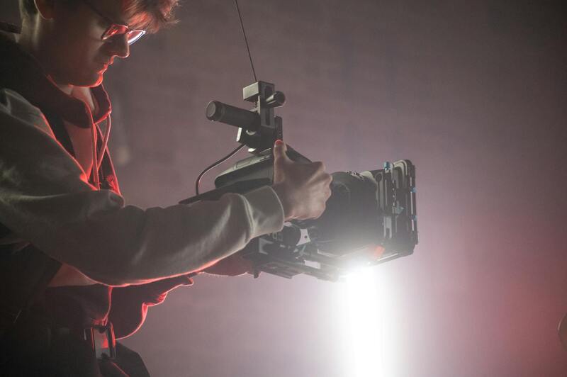
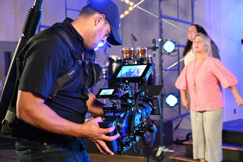
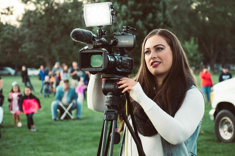
Choosing a Professional Aerial Photography Service in Miami
When selecting a provider for aerial photography, it's essential to consider their experience, equipment quality, and portfolio. Miami's unique architectural styles and scenic landscapes demand a photography team capable of capturing the area's distinctive appeal with precision and artistry.
Reputable aerial photography services employ advanced drone technology equipped with high-resolution cameras, stabilization systems, and automated flight planning capabilities. These tools allow for capturing sharp, stable images from various angles and elevations, ensuring every property is showcased to its fullest potential.
Experience in navigating complex property layouts and understanding local airspace regulations enables professionals to deliver consistent results without disruptions. An experienced provider will also offer guidance on optimal flight times to take advantage of natural lighting conditions, which greatly influence photo quality.
Clients should review a portfolio of previous work to assess the provider's style, technical skills, and ability to frame properties attractively. Additionally, clear communication regarding project scope, deliverables, and timelines ensures a smooth process from planning to final editing.
Opting for a full-service team that provides not only aerial photos but also post-processing and integration into marketing campaigns can streamline efforts and produce a cohesive visual narrative. This holistic approach guarantees that the imagery aligns with the overall branding and strategic goals of the real estate listing.

Ultimately, partnering with skilled professionals ensures high-quality, legally compliant, and visually impactful aerial images that enhance the property's market appeal. In a vibrant city like Miami, where breathtaking views and distinctive architecture define the real estate landscape, expert aerial photography can significantly influence buyer perceptions and improve sales outcomes.