Importance of Drone Imagery in Real Estate
In the competitive landscape of real estate, showcasing properties with captivating visuals is essential to attract potential buyers and investors. Drone pictures for real estate have revolutionized property marketing by offering a distinctive vantage point that traditional photography cannot match. These aerial images provide a comprehensive overview of the property, highlighting features such as expansive landscapes, architectural details, and surrounding amenities that may be missed from ground-level photos. As a result, high-quality drone imagery enhances the visual appeal of listings, making properties stand out in online searches and printed marketing materials.
Utilizing drone technology allows real estate professionals to present properties in a format that emphasizes scale, context, and proximity to key features like parks, waterfronts, and commercial centers. This bird’s-eye view offers prospective buyers a sense of the property's layout, neighborhood vibe, and overall setting, which are critical factors in their purchasing decision-making process. By integrating professional drone images into listings, agents can effectively communicate the property's value, environment, and unique selling points, ultimately accelerating sale times and increasing buyer interest.
Moreover, drone imagery fosters a more engaging and immersive experience for viewers. Potential buyers can virtually explore the property and its surroundings, gaining a deeper understanding of spatial arrangements and outdoor amenities. This immersive quality not only attracts a larger audience but also encourages more serious inquiries and visits. As the real estate market continues to evolve, incorporating drone photography has become a strategic move for agents and property owners seeking to enhance their marketing efforts and appeal to a broader, more diverse pool of prospective buyers.
Types of Drone Shots for Real Estate
In the realm of real estate marketing, selecting the appropriate drone shot type is essential to showcase a property's unique features effectively. Different angles and perspectives can highlight various aspects of a property, from expansive land views to intricate architectural details. Understanding the core types of drone imagery used in this context allows agents and property owners to craft compelling visual narratives that resonate with potential buyers.
- Bird’s-Eye View Shots: These images present an aerial perspective directly above the property, offering a comprehensive view of the entire estate, including outdoor spaces, landscaping, and surrounding environment. This shot type is ideal for large properties, estates, or those with notable outdoor features like pools, gardens, or extensive driveways.
- Oblique Shots: Taken at an angle rather than straight down, oblique shots add depth and dimensionality to the imagery. They help showcase the property's architecture and outdoor amenities more effectively, providing a dramatic perspective that can be particularly appealing in listing presentations.
- Close-Up Aerial Shots: Focused images captured from drones hovering at a lower altitude, these shots concentrate on specific property features such as the facade, rooftop, or outdoor living spaces. They allow viewers to appreciate fine details that contribute to the property's overall appeal.
- Property Line Shots: These images frame the property boundaries, emphasizing size and lot dimensions. They are particularly useful in rural or large-area listings where land size significantly impacts buyer interest.
- Neighborhood and Surroundings: Drones can capture the property's context within its neighborhood, highlighting nearby parks, commercial centers, schools, and transportation links. These shots help buyers visualize the property's location advantages and overall lifestyle offerings.
Best Practices for Capturing High-Quality Drone Photos
Achieving stunning drone images requires adherence to a set of refined techniques that ensure clarity, composition, and safety. Proper planning before a shoot can greatly influence the quality of the final visuals, making them more compelling to prospective buyers.
- Optimal Timing: Shooting during the golden hours—shortly after sunrise or before sunset—offers warm, natural lighting that enhances the property's features and reduces harsh shadows. Overcast days also provide diffuse lighting that minimizes glare and highlights details evenly.
- Stable Drone Operation: Use of high-quality stabilization equipment ensures smooth footage and sharp images. Pilots should be experienced in maneuvering drones to avoid shaky or blurred shots, especially when capturing detailed close-ups or panoramic views.
- Proper Framing and Composition: Applying principles of photography such as the rule of thirds or leading lines helps create balanced and engaging images. Including key features like a landscaped yard, swimming pool, or unique architectural elements in the frame attracts more attention.
- Maintaining Safe Distances: Respectical distances from structures, power lines, and other obstacles to ensure safety and prevent accidents. Clear awareness of local airspace restrictions helps avoid violations and ensures smooth flight operation.
- Pre-Flight Checklist: Conducting equipment checks includes verifying battery levels, camera settings, GPS connection, and flight plans. Proper preparation minimizes risks and maximizes the quality of the captured images.
Equipment and Techniques for Professional Drone Photography
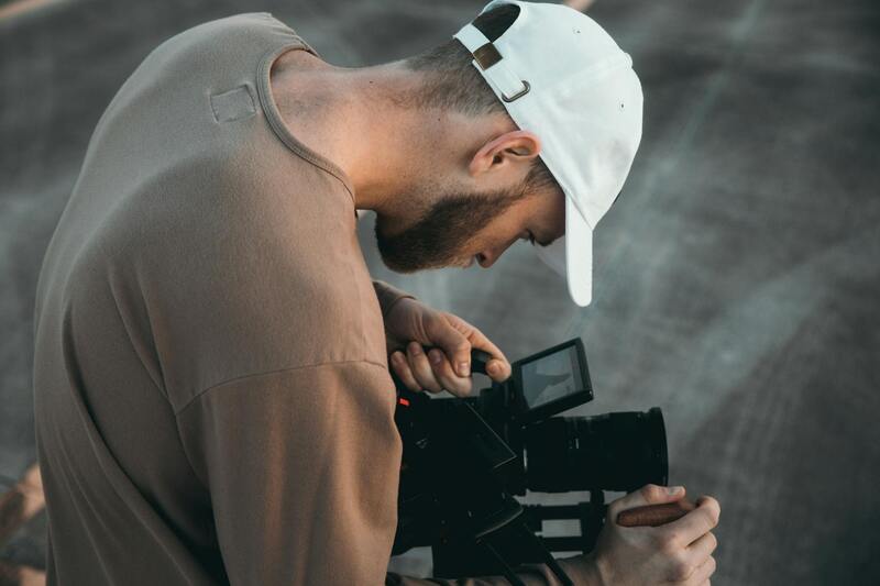
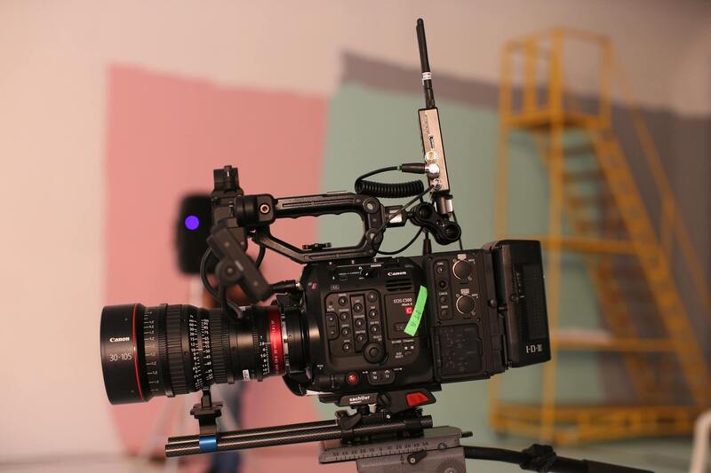
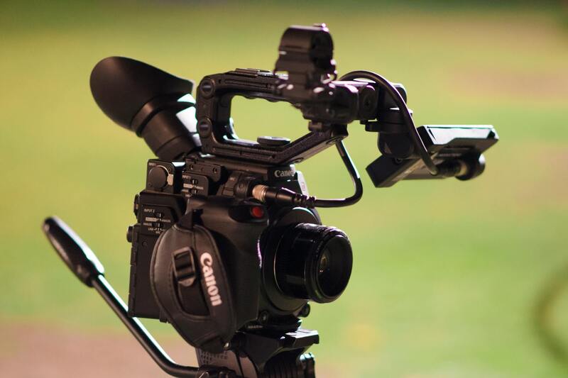
Achieving captivating drone imagery for real estate requires the right equipment coupled with expert techniques. High-resolution cameras integrated into drones are essential for capturing detailed images that accurately represent a property's features. Modern drone cameras often feature adjustable aperture settings, allowing pilots to adapt to varying lighting conditions for sharper, clearer images.
Stable flight is crucial to prevent motion blur and to produce crisp visuals. The use of gimbals—mechanical stabilization devices—ensures smooth footage even in challenging wind conditions. Pilots should prioritize drones equipped with reliable gimbal systems to maintain image consistency.
Additionally, utilizing advanced flight controllers enhances navigation accuracy, enabling the capture of precise angles and smooth panoramic shots. Employing drones with obstacle detection sensors helps avoid collisions with trees, buildings, or other structures, maintaining safety during flight operations.
Professional operators often employ specific flight patterns tailored for real estate imaging. These include circular shots around features such as pools or gardens, vertical ascents to showcase property height, and linear flights along driveways or borders to emphasize property boundaries. Combining different angles and altitudes provides a comprehensive visual story that captures both the scale and details of the property.
Optimizing Flight Conditions for Superior Results
Weather conditions significantly impact aerial photography outcomes. Optimal conditions include clear skies, minimal wind, and low humidity, which contribute to stable flight durations and sharp images. Planning drone shoots during those times ensures the best lighting and fewer disruptions.
Timing plays an important role. Early mornings and late afternoons, known as the golden hours, provide soft, warm sunlight that enhances exterior features and minimizes harsh shadows. Overcast days can also be advantageous, as diffused light evenly illuminates the property.
Preparation is critical to avoid wasting resources or missing key shots. Conducting pre-flight checks involves verifying battery life, camera settings, GPS signal strength, and reviewing the flight path to ensure comprehensive coverage of the property.
By adhering to the best practices regarding equipment selection and environmental conditions, real estate professionals can significantly elevate the visual appeal of property listings through drone photography.
Legal and Regulatory Considerations in Miami
In the vibrant and dynamic real estate market of Miami, utilizing drone images for property listings involves adhering to specific operational standards that ensure safety, privacy, and optimal results. These standards outline procedures for safe piloting, aircraft maintenance, and proper equipment use, often governed by local aviation authorities and industry best practices.
One essential practice is obtaining appropriate clearances for drone flights over private properties. This process involves coordinating with property owners and ensuring flight paths do not interfere with other aerial activities. Mapping out flight routes beforehand helps in maintaining smooth operations and avoiding disruptions.
Another critical aspect is flight planning concerning airspace classifications and weather conditions. Miami's airspace features designated zones that require specific attention to avoid conflicts with manned aircraft or restricted areas, such as near airports or military zones. Pre-mission planning includes checking NOTAMs (Notice to Airmen) and local restrictions to ensure compliance and seamless operation.
Maintaining comprehensive records of drone activities is also considered best practice. These records include flight logs, maintenance reports, and safety checks, which help in auditing performance, ensuring ongoing safety, and demonstrating adherence to operational standards.
Operational safety measures extend to pilot certification and ongoing training. Qualified operators who are familiar with Miami’s specific airspace regulations and equipped with advanced piloting skills can execute complex shots while minimizing risks. Regular training updates ensure pilots stay current with evolving standards and technological advancements.
Respecting privacy is equally important in densely populated neighborhoods. Flight operations should minimize noise and avoid capturing sensitive areas or private events, fostering community trust and positive relations. Strategic scheduling and altitude control help in achieving stunning visuals without infringing on residents' privacy.
Through diligent planning, compliance, and professional piloting, real estate agents and photographers can leverage drone technology effectively, capturing captivating visuals that boost property appeal while maintaining respect for legal frameworks and community standards in Miami.
Official Methods for Securing Drone Imagery in Miami
To acquire drone pictures for real estate purposes in Miami, professionals should utilize official and recognized data sources that provide accurate and current flight information. These sources include governmental aviation authorities and dedicated airspace management platforms. Such agencies provide detailed notices about temporary flight restrictions, special use airspace, and no-fly zones, especially in areas near airports, government buildings, or other sensitive locations.
By regularly consulting these authoritative channels, real estate photographers and drone operators can plan their flights with confidence, ensuring they adhere to designated airspace rules while capturing the necessary visuals. These resources are updated continuously, providing real-time information that helps in avoiding disruptions or accidental infringements during flight operations.
Another essential method involves establishing partnerships with certified drone service providers who possess documented operational protocols. These providers maintain compliance logs, safety records, and obtain necessary permissions for each shoot, ensuring their activities meet established standards. Engaging with such authorized entities guarantees that the drone images captured are compliant with local regulations and can be confidently used for marketing and listing purposes.
It is advisable to consult with local authorities or Miami-based aviation consultants who specialize in drone operations within the region. These experts facilitate obtaining any needed permits or authorizations and advise on the safest and most effective flight plans. Maintaining transparency and following official procedures not only streamlines the image acquisition process but also fosters trust among clients and the community.
Furthermore, documentation is key for verifying compliance. Operators should retain detailed logs of flight plans, permissions received, and operational data. These records are invaluable for audits, reviews, or future reference, underpinning a professional approach that emphasizes safety, accountability, and adherence to established standards.
In summary, leveraging official data sources, collaborating with certified operators, and maintaining comprehensive documentation are fundamental strategies for ensuring that drone imagery for Miami real estate listings is captured responsibly and efficiently. Such practices demonstrate commitment to professionalism, enhance image quality, and uphold community trust.
Strategies for Ensuring Compliance When Using Drone Imagery in Miami
To harness the advantages of drone photography in real estate within Miami, it is essential to adhere to authorized methods of image acquisition. Engaging with certified drone operators who are familiar with local regulations ensures that each image captured aligns with official protocols. These professionals utilize approved equipment and follow structured flight plans, minimizing risks and maintaining high standards of safety and quality.
Official methodologies for drone imagery involve obtaining necessary permissions through formal channels established by Miami’s aviation authorities. This often includes submitting detailed flight plans that specify altitude, location, and purpose, along with providing proof of operator certification and insurance coverage. Such procedures guarantee that drone flights are conducted in a manner consistent with established guidelines, fostering trust among clients and stakeholders.
Maintaining comprehensive documentation throughout the process is another critical aspect. This includes keeping records of permission requests, flight logs, operational data, and any correspondence with relevant agencies. These records serve as evidence of compliance and contribute to a transparent workflow, ultimately reinforcing the professionalism of the real estate marketing process.
Collaboration with Miami-based aviation consultants and regulatory bodies helps streamline the process, ensuring all activities are aligned with official standards. Utilizing approved tools and certified personnel not only enhances the quality of the images obtained but also reduces potential disruptions or issues during the photography sessions. This strategic approach ultimately benefits real estate professionals aiming to elevate their property listings with impactful, compliant drone imagery.
Understanding and Following Official Procedures
Adhering to the official procedures for drone usage involves a detailed understanding of local regulations and a commitment to best practices. Certification courses for drone operators provide foundational knowledge about restricted zones, altitude limitations, flight restrictions around sensitive sites, and safety protocols. For property marketers in Miami, partnering with certified drone firms ensures that each shoot respects all established rules.
In addition, many companies employ pre-flight risk assessments and site evaluations before commencing operations. This proactive approach reduces unforeseen complications and demonstrates a responsible, professional approach to drone usage. Integrating these procedures into the workflow supports a seamless process from planning through execution, producing high-quality images that resonate with prospective buyers.
By observing these official measures, real estate professionals can confidently incorporate drone imagery into their marketing platforms, knowing that all aspects of the operation are legitimate and compliant. This foundation not only upholds industry integrity but also enhances the credibility of the property listings, ultimately attracting more prospective buyers through captivating, professionally captured drone photos.
Ensuring Accurate and Consistent Image Capture with Proper Equipment and Settings
Achieving professional-quality drone images hinges significantly on the choice of equipment and the meticulous adjustment of camera settings. High-resolution drone cameras equipped with advanced sensors enable the capture of crisp, detailed imagery that accurately represents a property's unique features. These cameras often come with adjustable parameters such as ISO, shutter speed, aperture, and white balance, which must be optimized based on lighting conditions and the desired visual outcome.
Consistent use of calibrated equipment ensures uniformity across multiple shots, which facilitates seamless editing and cohesive listing presentations. To maximize clarity and color accuracy, drone operators should routinely calibrate their cameras and lenses, especially when transitioning between different lighting environments. Proper exposure settings prevent over- or underexposed images, ensuring that property details are vividly captured without loss of essential information.
Furthermore, the selection of drone models with gimbal stabilization technology minimizes motion blur, allowing for smooth, sharp photos even in windy conditions. Operators should also ensure that the drone’s flight parameters—such as altitude, speed, and angle—are precisely controlled to produce images that highlight the property’s best features without distortion.
Employing advanced imaging techniques like HDR (High Dynamic Range) photography can enhance the visual impact of drone shots by balancing exposure across shadowed and brightly lit areas. This technique is especially useful for real estate listings that feature both indoor and outdoor scenes, as it captures a comprehensive tonal range that accurately depicts the property's appeal.
Minimizing Distortion and Maintaining Consistency Across Shots
- Regular calibration of camera and gimbal systems to prevent optical distortions.
- Utilizing filters, such as polarizers, to reduce glare and reflections which can distort images.
- Following a standardized flight plan to ensure consistent angles, height, and coverage for each property.
- Adjusting camera settings for optimal exposure based on specific lighting conditions at each location.
Through deliberate equipment choices and precise setting adjustments, real estate professionals can produce drone imagery that not only captivates viewers but also provides an accurate visual representation of the property—an essential factor in building trust and encouraging engagement from prospective buyers.
Implementing Authentic and Professional Aerial Footage
To leverage drone pictures for real estate effectively, it is essential to employ authentic and professional-grade aerial imagery. This ensures that potential buyers and investors receive a transparent and compelling visual narrative of the property. Authentic aerial images accurately depict the size, scale, and unique features of the property, which helps foster trust and engagement during the decision-making process.
Avoiding overly edited or artificially enhanced images is crucial. Instead, focus on capturing the natural beauty and distinctive characteristics of the property under various lighting conditions and at different times of the day. Utilizing high-resolution drones equipped with advanced stabilization technologies results in crisp, detailed footage that enhances the property’s appeal.
Furthermore, professional drone operators adhere to strict flight protocols, ensuring safe and controlled captures that respect property boundaries and surrounding environments. Such disciplined execution contributes to a consistent quality that aligns with the property’s actual appearance, avoiding misleading representations.
The integration of professional editing techniques, such as color correction and contrast adjustment, enhances imagery without altering the true appearance of the property. These minor tweaks can make the images more vibrant and appealing while preserving realism. Incorporating ground-level shots alongside aerial views creates a comprehensive visual story, guiding potential clients seamlessly through the property’s features and surroundings.
Essential to this process is collaboration with experienced drone operators and editing specialists who understand the nuances of real estate marketing. Their expertise ensures that every image or video sequence captures the property’s essence accurately, supports marketing goals effectively, and provides a reliable visual reference for all viewers.
Utilizing Off-The-Shelf and Custom Solutions
- Off-the-shelf drone solutions: These are ready-to-fly options suitable for simple aerial shots, often ideal for smaller or less complex properties. They are cost-effective but may lack advanced features for intricate shots.
- Custom drone solutions: Custom-configured drones equipped with high-end cameras and stabilization systems provide superior image quality, flexibility in shot planning, and enhanced security measures for complex listings.
Maintaining authenticity and professionalism in drone imagery fosters a trustworthy impression that can significantly influence prospective buyers’ perceptions. When executed correctly, drone pictures can serve as powerful tools that elevate a property’s profile in a competitive marketplace.