Overview of Drone Photography in Real Estate
In the rapidly evolving landscape of property marketing, drone photography has established itself as a pivotal tool for showcasing real estate listings. Utilizing unmanned aerial vehicles (UAVs), real estate professionals can capture stunning, high-resolution images and videos that provide a comprehensive perspective of a property’s layout, surroundings, and unique features. This innovative approach allows potential buyers to virtually explore a property from various angles, facilitating a more immersive experience that static ground-level photos often cannot provide.
The integration of drone photos into real estate marketing strategies has significantly enhanced the way properties are presented online. These aerial images help highlight the scale of a property, showcase outdoor amenities, and reveal landscaping and topography in ways traditional photography cannot achieve. As internet listings become more competitive, high-quality drone imagery is increasingly viewed as a standard element that can make a listing stand out in a crowded marketplace.
In an era where visual content drives engagement, drone photos for real estate have become an essential component of modern marketing practices. They enable real estate agents and property owners to deliver a compelling visual narrative that appeals to prospective buyers, investors, and developers alike. The rising popularity of drone imagery is rooted in its ability to provide striking visual insights, reinforce property features, and ultimately, facilitate quicker sales and higher offers.
Legal and Regulatory Considerations in Miami
In the pursuit of capturing compelling drone photos for real estate, understanding the framework governing drone operations within Miami is essential. Local authorities and regulatory bodies maintain specific guidelines to ensure safe and responsible use of unmanned aerial vehicles (UAVs) in urban and residential areas. Adhering to these standards not only facilitates smooth filming processes but also upholds the integrity of the property showcasing efforts.
Operational space restrictions are fundamental considerations. Drone operators must be vigilant to avoid restricted zones such as airports, heliports, and other sensitive areas within Miami. These zones are typically identified with no-fly zones and require advanced knowledge of city maps and airspace classifications.
Certification and registration of drone equipment are necessary steps. Operators should ensure their devices meet federal and local standards, and that their drones are duly registered with the appropriate agencies. This registration process includes providing details about the drone model, operational purpose, and operator credentials.
Insurance coverage for drone flights is another critical element. Comprehensive liability insurance protects against potential damages or accidents during aerial shoots. Many professional drone service providers in Miami maintain specialized insurance policies, reinforcing their commitment to safe practices.
Furthermore, privacy considerations are integral to operational planning. When capturing drone photos for real estate, the legal boundaries of privacy must be respected. Operators should avoid infringing on neighboring properties, private spaces, or personal activities. Establishing proper communication with property owners and neighbors prior to flights can help foster transparency and trust.
Implementing a detailed flight plan is recommended. This plan should specify flight paths, altitude ranges, and times to minimize disruptions and maximize photo quality. It also includes contingency measures for weather conditions and technical issues.
By aligning operational practices with these guidelines, professionals can ensure legal compliance and safety, thereby enhancing the credibility and effectiveness of drone photos for real estate listings in Miami.
Legal and Regulatory Considerations in Miami
In Miami, conducting drone photography for real estate involves adhering to a framework established by local authorities, which governs the operation of unmanned aerial vehicles within city limits. Registration processes are designed to promote responsible drone use, requiring operators to document their drone models, operational intentions, and credentials. Ensuring compliance with these procedures helps maintain the high standards expected in professional real estate marketing.
One key component is obtaining necessary permits, which may include specific approvals for aerial photography projects over residential or commercial properties. These permits are intended to coordinate drone activities with city regulations, minimize disruptions, and protect residents' interests. The permitting process often involves submitting detailed flight plans, demonstrating the operator's competency, and confirming that flight schedules avoid sensitive times or areas.
Beyond permits, understanding and respecting privacy regulations is vital. While capturing aerial shots, operators must be cautious to avoid infringing upon private property or capturing visuals that could compromise personal privacy. Effective communication with property owners and neighbors before scheduling drone flights establishes trust and garners cooperation, which is essential for smooth operations.
Operational planning is a cornerstone of compliant drone photography. This involves designing detailed flight paths that account for altitude restrictions, no-fly zones, and weather considerations. By preparing comprehensive flight plans, operators can avoid unintended boundary crossings and ensure footage is captured efficiently and ethically.
Part of the preparation includes contingency strategies for unforeseen circumstances like adverse weather or technical issues. Having backup plans in place ensures that drone shoots continue smoothly and that the resulting imagery meets professional standards.
Operational transparency and adherence to local policies not only contribute to safe drone flights but also elevate the credibility of real estate listings. By aligning with these guidelines, professionals in Miami can harness the full potential of drone photography to showcase properties compellingly, all while respecting the community’s regulations and privacy expectations.
Legal and Regulatory Considerations in Miami
Ensuring that drone photography complies with the specific regulations governing aerial data collection is essential for maintaining professional integrity and operational efficiency in Miami's real estate market. Operators should familiarize themselves with the city's guidelines on drone usage, including restrictions related to altitude, flight zones, and operational hours. Understanding these boundaries helps in planning shots that adhere to local standards while maximizing the visual appeal of each property.
Pre-flight assessments are a critical component of responsible drone operation. These assessments involve reviewing airspace maps to identify restricted zones, such as near airports, government buildings, or other sensitive locations. By carefully planning flight paths within permitted areas, photographers can avoid inadvertent violations that could disrupt projects or incur penalties.
Proper certification and registration of drone equipment and pilots also play an important role in the professional management of aerial photography projects. Ensuring that all operational licenses are up-to-date underscores a commitment to following established standards and demonstrates a level of credibility crucial for establishing trust with clients and stakeholders.
Operators are advised to keep abreast of any updates to local policies, weather advisories, and airspace restrictions. Utilizing comprehensive flight management tools and keeping detailed records of flight plans can further enhance transparency and accountability in drone operations.
Landowners and real estate agents benefit from the assurance that drone footage was captured following all relevant guidelines, which enhances the overall professionalism of property marketing efforts. When these standards are consistently followed, drone photography remains a valuable, sustainable asset in real estate marketing that respects community guidelines and property rights.
Best Practices for Shooting Drone Photos
Executing high-quality drone photography for real estate requires adherence to established techniques that optimize image clarity, coverage, and aesthetic appeal. To achieve professional-grade visuals, operators should focus on thorough pre-flight planning, including evaluating the property’s layout, natural lighting conditions, and optimal times of day for capturing images with even illumination and minimal shadows.
Proper altitude is crucial; flying at a height that provides a comprehensive overview without sacrificing detail ensures viewers receive an accurate representation of the property’s scale and surroundings. Typically, maintaining an altitude between 50 to 150 feet offers a balanced perspective that highlights the property’s features while preserving image quality.
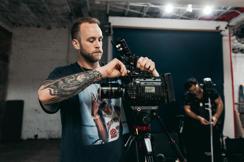
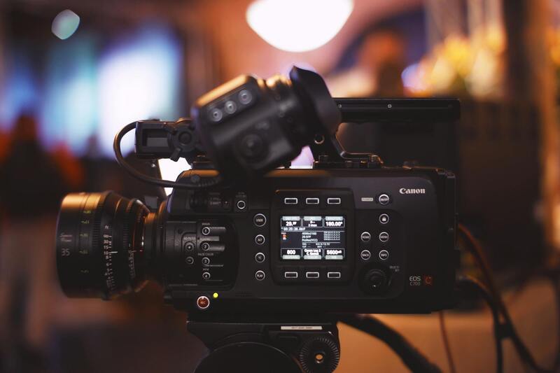
Operators should utilize high-resolution cameras equipped with adjustable lenses that allow for sharp, detailed shots across different areas of the property. Utilizing filters, such as polarized or ND filters, can enhance image quality by reducing glare and managing exposure, especially during bright daylight conditions.
Flight stability is fundamental. This involves steady control to prevent camera shake, which can degrade image quality. Using gimbal stabilization systems ensures smooth, blur-free footage and photographs, creating visually appealing images that accurately depict the property’s features.
Wind conditions are a significant consideration; strong winds can lead to unstable drone flights and blurry shots. Planning flights during calmer weather windows helps maintain control and produces steady images. Additionally, operators should be aware of concurrent air traffic or nearby structures that could interfere with flight paths, making sure to avoid any potential hazards.
Post-flight, the importance of capturing multiple angles and perspectives cannot be overstated. A variation of front, rear, aerial, and close-up shots provides clients and prospective buyers with a comprehensive view of the property, highlighting its unique aspects. This diverse array of images allows for more dynamic marketing materials, whether for online listings, virtual tours, or printed brochures.
Meticulous post-processing is essential to maximize the impact of drone photos. Professional editing software can correct exposure inconsistencies, enhance colors, and remove minor imperfections, ensuring a polished, professional presentation that stands out in competitive markets.
Ultimately, consistent application of these best practices ensures that drone photography not only captures stunning visuals but also remains aligned with industry standards and community expectations, reinforcing the credibility of the real estate marketing effort.
Best Practices for Shooting Drone Photos
Effective drone photography requires a strategic approach to capture compelling images that truly showcase a property’s unique features. The process begins with careful pre-flight planning, where weather conditions are checked to ensure optimal visibility and stability. Favorable weather, particularly low wind speeds and clear skies, contributes significantly to sharp, high-quality images.
Use optimal flight altitudes to provide both broad aerial views and detailed close-ups. This involves flying at higher elevations to capture the entire property within a single frame, then descending to highlight specific features like pools, gardens, or architectural elements. Maintaining a steady altitude and smooth camera movements is crucial for creating seamless, professional-looking imagery.
Timing also plays a vital role. Shooting during the golden hours—shortly after sunrise or before sunset—offers warm, natural lighting that adds depth and appeal to images. Additionally, capturing multiple perspectives from different angles helps create a comprehensive visual story of the property, which enhances online listings and virtual tours.
Operator skill is fundamental. A well-trained drone pilot understands the nuances of aircraft control, ensuring stable footage and avoiding unintended movements that could compromise image quality. The use of gimbal stabilization systems manages camera vibrations, allowing for smooth footage regardless of slight wind movements or sudden directional shifts.
Further, it’s important to incorporate variety in shots. Combining wide-angle vistas with closer views reveals both the expansive context of the property and its finer details. This diversity in perspectives not only attracts potential buyers but also provides a more authentic representation of what the property offers.
Post-flight, a systematic approach to editing enhances the usability of drone imagery. Adjustments to brightness, contrast, and color balance help create visually appealing images that stand out online. Removing minor imperfections and optimizing image sharpness ensures the photos maintain a high-quality appearance across different marketing platforms.
Best Practices for Shooting Drone Photos
Producing compelling drone photographs for real estate requires adherence to a set of established best practices that maximize visual impact while ensuring safety and professionalism. First and foremost, careful planning of each flight is crucial. This involves scouting the property beforehand to identify optimal angles and vantage points that showcase the property's size, layout, and surroundings effectively.
Optimal lighting conditions significantly influence image quality. Shooting during the early morning or late afternoon—the so-called golden hours—provides soft, warm light that accentuates architectural features and landscape details. Overcast days can also be ideal, as diffused light eliminates harsh shadows, resulting in evenly lit images.
Preflight checks are an essential component of best practices. Ensuring that the drone is in excellent working order, battery levels are sufficient, and the camera equipment is correctly configured help prevent technical issues during flight. Additionally, understanding wind conditions and choosing a calm day reduces the risk of shaky footage and ensures smooth, stable photos.
Avoiding clutter within the shot is another key principle. Clearing the area of unnecessary objects and arranging seasonal landscaping thoughtfully enhances the property's presentation. For example, highlighting well-maintained yards or unique features like pools or patios can resonate strongly with prospective buyers.
Fly Maneuver Techniques:
- Maintain consistent altitude to create harmonious shots, especially when capturing wide aerial views.
- Use grid or orbit flight paths to achieve comprehensive shots from multiple angles.
- Maintain smooth, deliberate movements to prevent motion blur and uneven footage.
- Incorporate progressive zoom-ins to reveal intricate property details seamlessly.
Post-flight, it’s vital to review and select the best captures for editing. This includes assessing composition, exposure, and sharpness. The goal is to produce images that are not only visually stunning but also true to the property's actual appearance. Consistency across images helps create a cohesive visual narrative that appeals to potential buyers.
Building a library of high-quality drone shots enables real estate professionals to craft dynamic virtual tours, captivating online listings, and targeted marketing campaigns. The use of stable, well-composed images directly influences viewer engagement, conveying professionalism and credibility.
Advanced Techniques and Emerging Trends in Drone Photography for Real Estate
As the landscape of real estate marketing continues to evolve, leveraging innovative drone photography techniques can significantly enhance property presentations. Advanced methods focus on improving image quality, diversifying shot types, and integrating new technologies to create more compelling visual narratives that resonate with prospective buyers.Drone operators utilizing sophisticated flight planning software can execute complex maneuvers, such as high-altitude panoramas and close-up shots that reveal intricate architectural details. These techniques require precise control over altitude, angle, and movement to capture images that highlight both the property’s grandeur and finer features.
In addition, immersive 3D mapping and photogrammetry are transforming real estate marketing. These technologies compile multiple drone photographs into detailed, interactive models that allow potential buyers to explore properties virtually. Such models can demonstrate not only the aesthetic appeal but also structural details, topography, and spatial relationships within the property and its environment.
Another emerging trend involves the integration of thermal imaging capabilities, which can be particularly useful in highlighting energy efficiency features like insulation, heating systems, or potential problem areas related to moisture or heat loss. This provides a unique value proposition for discerning buyers seeking properties with sustainable or cost-efficient features.
With ongoing innovations, autonomous drone flight systems are becoming more prevalent. These systems enable pre-programmed flight paths that can execute complex shooting sequences with minimal operator intervention. Such automation ensures consistency across shoots, especially when producing large volumes of marketing material for multiple listings.
Furthermore, real-time streaming capabilities are improving, enabling live virtual walkthroughs where drone footage is transmitted directly to online viewers or marketing hubs. This dynamic approach creates immediate engagement and allows agents to showcase properties remotely with impressive cinematic quality.
Advancements in image stabilization, high dynamic range (HDR) imaging, and 4K or higher video resolutions ensure that drone footage maintains clarity, color accuracy, and detail, even in challenging environmental conditions. These enhancements support the creation of polished, professional-grade listings that elevate the property's appeal and foster trust among prospective buyers.
Adopting these forward-thinking drone photography practices can elevate the marketing strategy, setting properties apart in a competitive market. Staying informed of emerging technologies and refining operational expertise will continue to shape the future of real estate visuals, offering agents and sellers effective tools to attract and engage buyers more effectively than ever before.